Jump to Content
  • Weather
  • Climate
  • Oceans & Coasts
  • Fisheries
  • Satellites
  • Research
  • Marine & Aviation
  • Charting
  • Sanctuaries
  • Education
  • About our agency
  • News and features
MENU
CLOSE
NOAA HomeNational Oceanic and Atmospheric AdministrationU.S. Department of Commerce
Find your local weather

heat island

Content

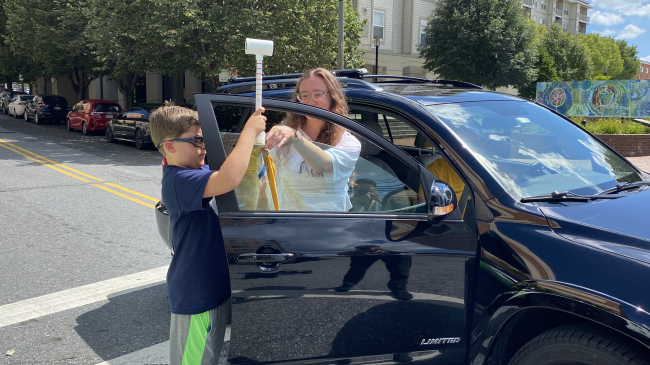
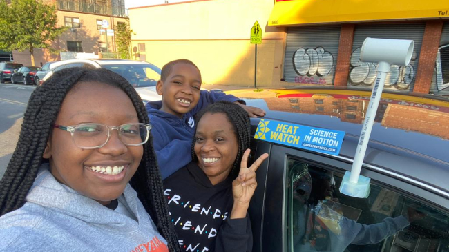
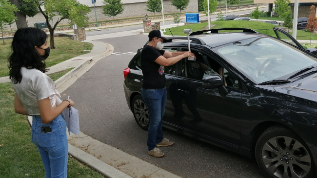
NOAA leads community scientists in mapping hottest parts of 13 U.S. cities

June 3, 2020
More On 
heat island
heat waves
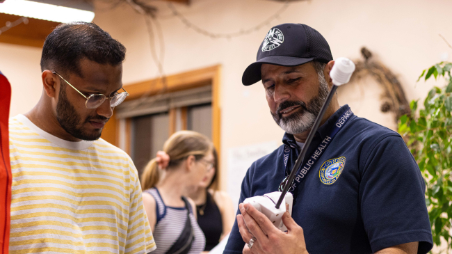
Sara Benson (right) and Roxanne Lee, of the Boston Science Museum, using a CAPA Heat Strategies sensor to investigate extreme heat in Boston, Brookline, and Cambridge, Massachusetts, on July 24, 2019.

Citizen scientists take to the streets to map the hottest spots in 10 U.S. cities

July 24, 2019
More On 
heat island
citizen science
heat waves
research
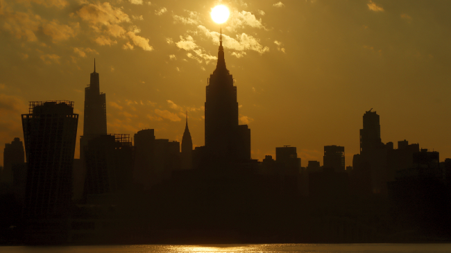
Summer sunset and the "Ed Koch"(Queensborough) Bridge in New York City as seen on June 6, 2011.

Science and education partners reveal the hottest places in Washington, D.C., and Baltimore

May 24, 2019
More On 
heat island
citizen science
education
Youth from Groundwork RVA join with Jeremy Hoffman to look for hot spots in Richmond, Virginia, using a forward-looking infrared thermal camera.
  • About our agency
  • News and features

Stay connected

Share to Twitter Share to Facebook NOAA on Instagram NOAA on YouTube
NOAA HomeScience. Service. Stewardship.

How are we doing?

Feedbackopens in new window
  • COVID-19 Resources for NOAA Personnel
  • Protecting Your Privacy
  • FOIA
  • Information Quality
  • Accessibility
  • Guidance
  • Budget & Performance
  • Disclaimer
  • EEO
  • No-Fear Act
  • USA.gov
  • Ready.gov
  • Employee Check-In
  • Staff Directory
  • Contact us
  • Need help?