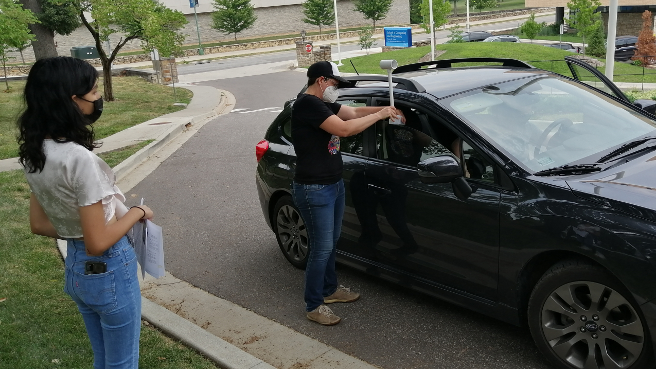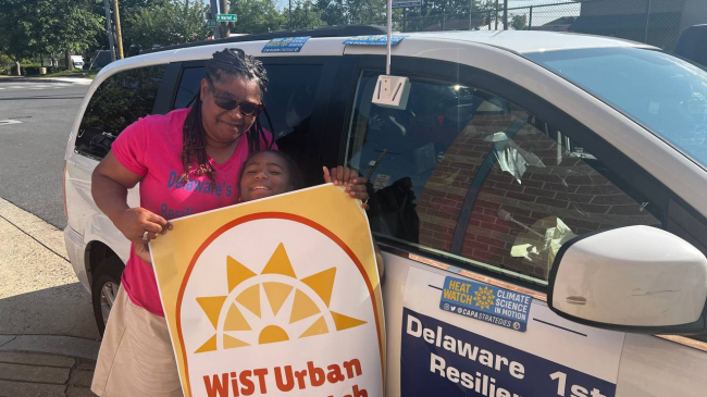
A community volunteer attaches the heat sensor that will collect heat data as part of NOAA’s Heat Island Mapping Campaign in Kansas City, Missouri on Aug. 6, 2021. (Image credit: Kansas City Heat Island Mapping Campaign)
NOAA’s National Integrated Heat Health Information System and science partner, CAPA Strategies offsite link, are now accepting applications from organizations interested in participating in the 2022 Urban Heat Island mapping campaigns.
The campaigns involving community members and scientists will work to map the hottest areas of their communities to learn where action is needed to protect vulnerable populations now and in the future.
The mapping campaigns are run by a participating city’s local citizen science organizations, and rely on volunteers to travel around the city using sensors attached to cars to collect data on temperature, humidity, time and GPS location. The resulting maps provide a detailed analysis of the distribution of heat in the morning, afternoon and evening. These public campaigns raise awareness of the growing health issue of urban heat islands (UHI), and inform interventions to address extreme heat such as tree planting, smart surfaces, and incorporation into climate action plans.
“The climate crisis is accelerating and exposing inequities such as urban heat islands in communities across the nation,” said Rick Spinrad, Ph.D., NOAA administrator. “As part of NOAA’s effort to build equity into every aspect of our operations, we are pleased to be partnering with CAPA Strategies and local groups to create maps that will help communities address the growing health problems of extreme heat.”
For the past four years, over three dozen cities across the U.S. have participated in the UHI mapping campaign. Communities in 11 states participated in the 2021 campaign, which finished data collection in September. Mapping reports from these communities will be released on a rolling basis through December.

NOAA will provide funding to CAPA Strategies to support campaigns in approximately 8-10 communities in 2022. There are three new features planned for the 2022 mapping campaigns:
- Additional monitoring products will be piloted in a few cities. While the standard campaigns provide a good snapshot of how temperatures vary in a community on a hot day, adding stationary sensors to the campaign can provide a longitudinal look at how these spatial patterns also vary over time under varying weather conditions.
- The UHI mapping campaign is now part of the Biden Administration’s Justice40 initiative, and applicants will be asked to describe how the campaign will further environmental justice initiatives in their community. During the campaign, participants will track and report on the allocation of benefits to environmental justice communities.
- The mapping campaigns will be open to global cities for the first time, and NOAA expects that one or two cities will be selected from outside of the United States. NOAA is partnering with the Global Heat Health Information Network offsite link (GHHIN) to reach communities in other countries.
Applications are due by 5 PM Eastern on Friday, January 14, 2022. Applicants will be notified of the outcome by early February 2022.
Learn more about the UHI campaigns and how to apply.
Learn more about interventions that have resulted from the Urban Heat Island mapping campaigns in this NOAA NIHHIS webinar series.
Media contact
Monica Allen, NOAA, monica.allen@noaa.gov, 202-379-6693


