NOAA, partners and volunteers to launch research in 17 communities

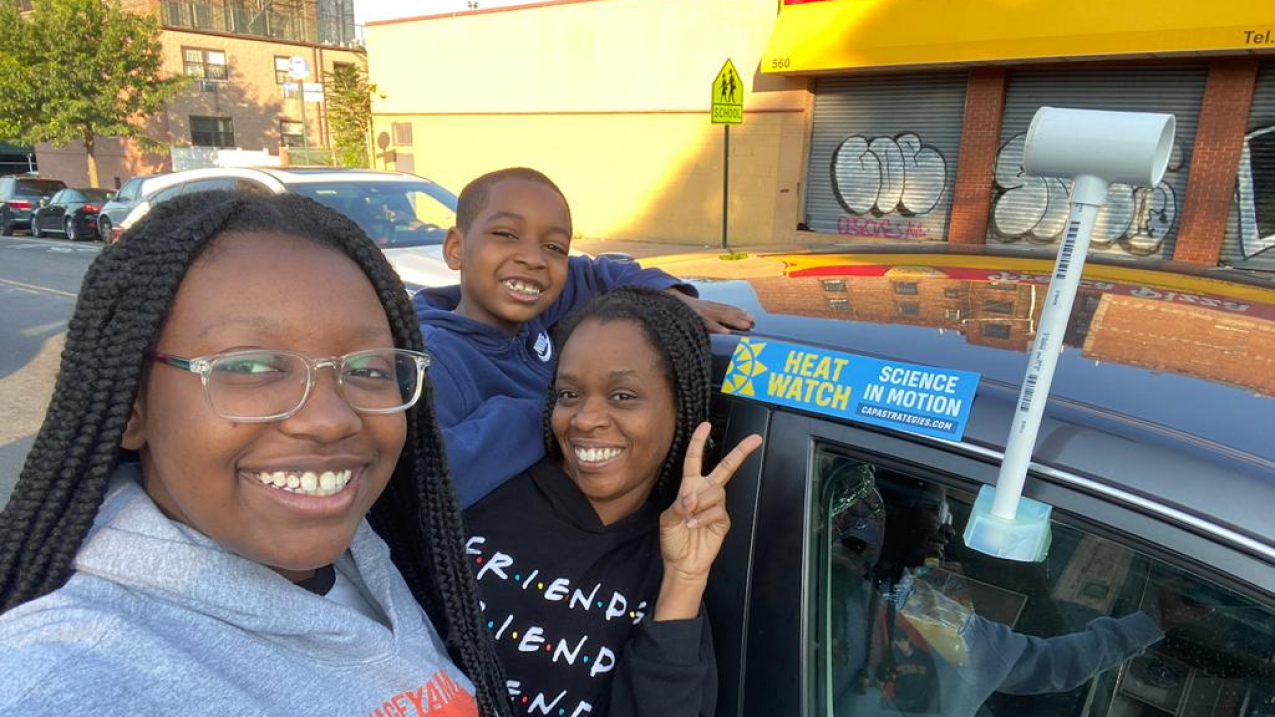
Volunteers Octavia Jones and her two children Taegan and Tristen Harris used the sensor attached to car to collect heat data in the Bronx as part of the NOAA and partner Heat Island Mapping Campaign, July 2021. (Image credit: Courtesy of Octavia Jones)
RESOURCES
RESOURCES
Media are invited to a virtual media event to hear from a panel of experts about this summer’s NOAA and partner urban heat island mapping research that will take place in 15 U.S. communities and two international communities.
Extreme heat kills more Americans than any other weather event. Data from the research will be used to produce detailed local maps that can help city officials and community groups consider and plan actions to protect people from extremely high temperatures. The mapping projects will involve citizen volunteers, community coordinators, NOAA and partner scientists.
WHAT
Virtual media briefing: 2022 urban heat island mapping research
WHEN
Wednesday, June 1, 2:00 p.m. - 3:00 p.m. EDT
WHERE
GoToWebinar: Journalists can register for the virtual media roundtable: https://attendee.gotowebinar.com/register/161652821347039759 offsite link
SPEAKERS
- Hunter Jones, climate and health project manager, NOAA Climate Program Office and National Integrated Heat Health Information System (NIHHIS)
- Joey Williams, Manager, CAPA Strategies offsite link
- Melanie Garate, Climate Resiliency Manager, Mystic River Watershed Association offsite link
The media briefing will be moderated by NOAA Climate Program Office’s Tom Di Liberto, communicator and climatologist, and Climate Central’s Jen Brady, Manager of Analysis and Production, Climate Central offsite link.
Urban Heat Islands are places where buildings, asphalt and other parts of urban environments amplify high temperatures compared to nearby vegetated areas, putting people at heightened risk of heat illness during extreme heat events.
The National Integrated Heat Health Information System (NIHHIS), in partnership with the NOAA Climate Program Office and CAPA Strategies LLC is supporting and coordinating 17 community science Urban Heat Island (UHI) mapping field campaigns in cities and communities across the country and world this summer.
The cities being mapped this summer include:
- Boulder, Colorado
- Clark County, Nevada, which includes Las Vegas
- Columbia, South Carolina
- Columbus, Ohio
- Jacksonville, Florida
- Knoxville and Nashville, Tennessee
- Milwaukee, Wisconsin
- Montgomery County, Maryland, outside Washington DC
- Omaha, Nebraska
- Spokane, Washington
- Philadelphia, Pennsylvania
Two cities that were part of last year’s heat island mapping campaign will complete their urban heat island mapping this summer:
- Brooklyn, New York
- San Francisco, California
Two international cities:
- Freetown, Sierra Leone
- Rio de Janeiro, Brazil
Providing support for mapping:
- Columbia, Missouri
The media briefing will feature experts with NOAA’s Climate Program Office, the National Integrated Heat Health Information System, CAPA Strategies LLC and Urban Heat Mapping partner Mystic River Watershed Association in Massachusetts, along with experts from Climate Central. The experts will discuss the history, mission and future of the Urban Heat Island Mapping Campaign, the technology and process that allows scientists to map urban heat in cities across the country, the potential uses — at a city and community level — for urban heat maps, as well as the community stories that evolve with a citizen science led campaign.
Journalists will have an opportunity to ask questions about the extreme heat citizen science campaign taking place in their city this summer and meet experts coordinating the campaigns at a national and local level.
Media contact
Monica Allen, NOAA, monica.allen@noaa.gov, 202-379-6693


