Geospatial Information System
NOAA

An official website of the United States government
Here’s how you know
Official websites use .gov
A .gov website belongs to an official government organization in the United States.
Secure .gov websites use HTTPS
A lock () or https:// means you’ve safely connected to the .gov website. Share sensitive information only on official, secure websites.
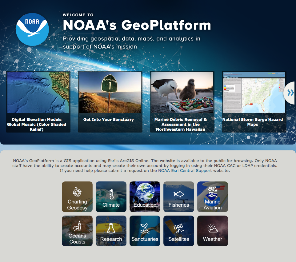
The NOAA GeoPlatform, which runs on Esri’s ArcGIS Online technology, is a cloud-based GIS data, analytics, and visualization platform. Here you’ll find access to several key NOAA map services as well as the popular NOAA Story Maps. Browse the NOAA GeoPlatform here offsite link.
