Wildfires play an important role in the natural regenerative cycle of many vegetative communities, but the loss of vegetation has lasting effects on the landscape. Communities and sensitive habitats downstream of a fire often face a heightened risk of flooding for years to come.
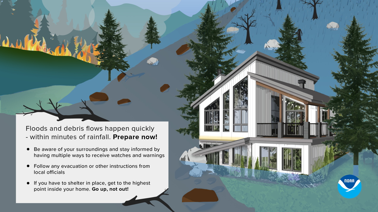
The physical removal of trees, shrubs, sticks and duff in a burned area increases the speed and volume of runoff, especially on steep slopes. Exposed soil is more vulnerable to erosion, even under moderate precipitation events. Hot fires can actually create a water-repellent layer of topsoil, which further amplifies runoff volume and speed. These changes can significantly increase the risk of dangerous flash floods and debris flows.
NWS forecast offices pay special attention to burn scars when storms are imminent. Meteorologists use a variety of short-term forecast models, Doppler radar, and their knowledge of local terrain to determine when the public needs to be alerted to increased flood risk. Hazardous weather outlooks, issued daily, discuss flash flood potential. Flash flood advisories, watches and warnings are issued when conditions are conducive to flooding or are already occurring. While the goal is to provide maximum lead time, when storms develop directly over burn scars, advance warnings may not be possible.
Burn scar runoff can also deposit increased debris loads into streams and rivers used by sensitive fish species. NOAA Fisheries helps provide local agencies and organizations with best practices for stabilizing burn areas to protect fish habitat.
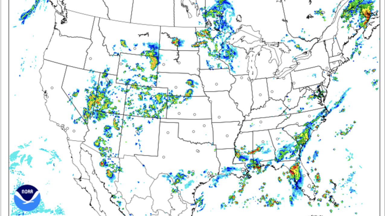
National Weather Service meteorologists utilize the High Resolution Rapid Refresh short-term weather model, or HRRR, which generates a new forecast every hour and can predict the formation of individual thunderstorms and rain bands that are capable of producing a flash flood or debris flow below a burn scar. Forecasters analyze outputs from the HRRR and other models and utilize their knowledge of local weather and terrain to identify flood risk near burn zones.
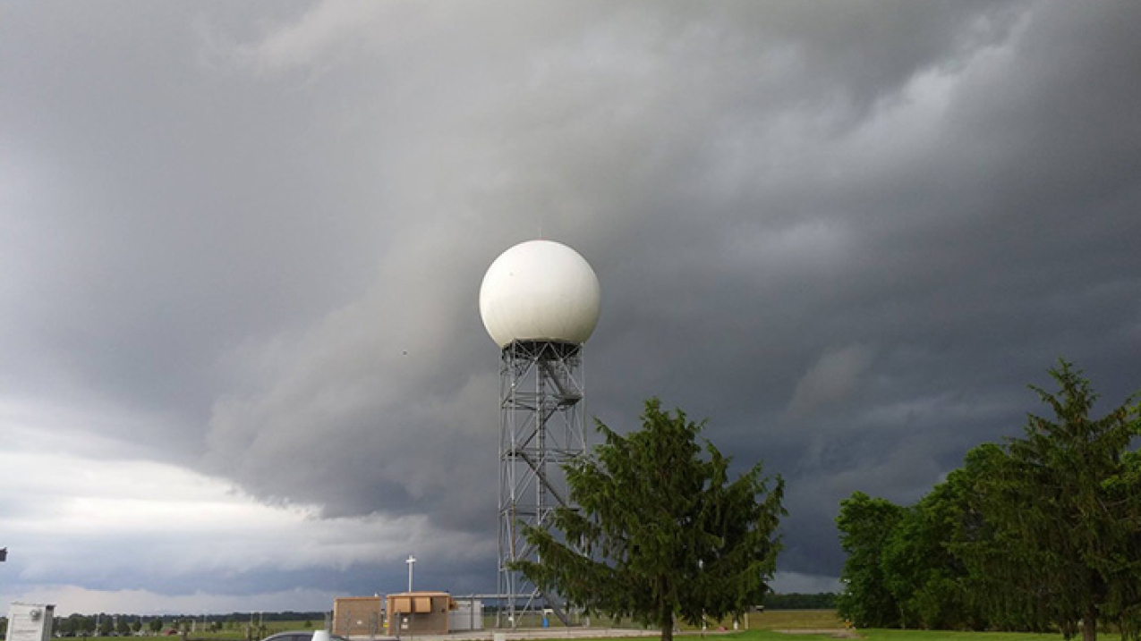
The Next Generation Weather Radar (NEXRAD) system is a network of 160 high-resolution S-band Doppler weather radars jointly operated by the National Weather Service (NWS), the Federal Aviation Administration (FAA), and the U.S. Air Force. The NEXRAD system detects precipitation and wind, and its data can be processed to map precipitation patterns and movement. NEXRAD allows meteorologists to identify areas of heavy precipitation that may cause flooding below burn scars.
A flash flood is defined as a rapid rise in water levels, along rivers, creeks, normally dry washes, arroyos, or even normally dry land areas. Flash floods generally occur within 6 hours of the rainfall or other event that causes them. Even moderate rainfall rates can cause significant flooding in the first few years after a forest fire. If you are in or near a burn scar area, plan ahead and be aware of the weather. Rainfall upstream of you can cause a flash flood to come roaring down the mountain to where it is not raining. Local forecast offices will issue a Flood Watch when conditions are favorable for flooding. It does not mean flooding will occur, but it is possible. A Flash Flood Warning is issued when flash flooding has been reported or is imminent. When a Flash Flood Warning is issued for your area, act quickly, and immediately follow evacuation advice.


