Jump to Content
  • Weather
  • Climate
  • Oceans & Coasts
  • Fisheries
  • Satellites
  • Research
  • Marine & Aviation
  • Charting
  • Sanctuaries
  • Education
  • About our agency
  • News and features
  • NOAA 50th
MENU
CLOSE
NOAA HomeNational Oceanic and Atmospheric AdministrationU.S. Department of Commerce
Find your local weather

satellite images

Content

Slideshow: 50 satellite views from 50 years of NOAA

December 29, 2020
More On 
satellite images
NOAA 50th Anniversary
geostationary satellite (GOES)
polar-orbiting satellite (POES)
These three images from NOAA's GOES East (GOES-16) satellite show us what Earth looks like from space near the solstice. The images were captured about 24 hours before the 2018 solstice, at 5:30 p.m. on Dec. 20, 2018.

See: Satellite detects changes in nighttime lights in NYC Metro area

May 11, 2020
More On 
satellite images
COVID-19
Earth observations
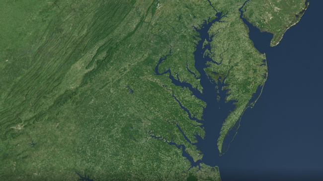
Tapping into data from the NOAA/NASA Suomi NPP satellite’s Day/Night Band, NOAA’s Joint Polar Satellite System (JPSS) colleagues at the Cooperative Institute for Research in the Atmosphere, Cooperative Institute for Meteorological Satellite Studies, and the Colorado School of Mines examined the difference in illumination of urban and suburban lights between February and March, 2020. By doing so, the scientists were able to detect areas of dimming (blue), and in some cases brightening (red), of nighttime lights from the Mid-Atlantic to New England.

Still inspiring after 50 years: Images of our planet on Earth Day, then and now

April 22, 2020
More On 
satellite images
Earth Day
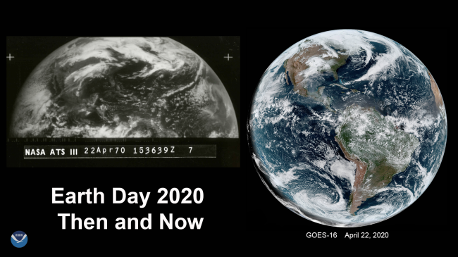
In celebration of Earth Day 2020, let’s take a look at just how far geostationary satellite technology has come by looking at full-disk imagery taken every 10 years since the first Earth Day in 1970. Many of these images may look very similar in these large-scale views, but the advancements that came with each new satellite generation greatly improved how we monitor and predict weather and other environmental phenomena.

A whole other world from above: Our best satellite images from 2019

December 23, 2019
More On 
satellite images
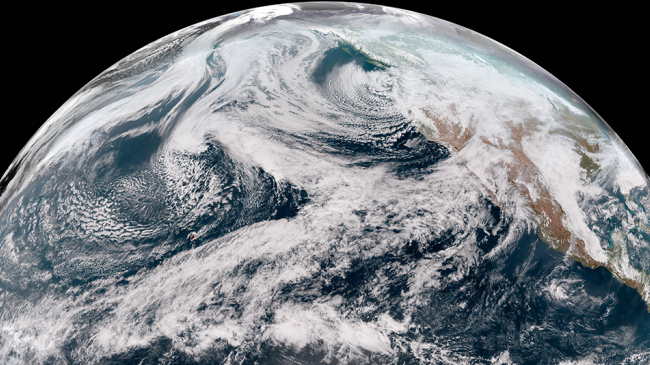
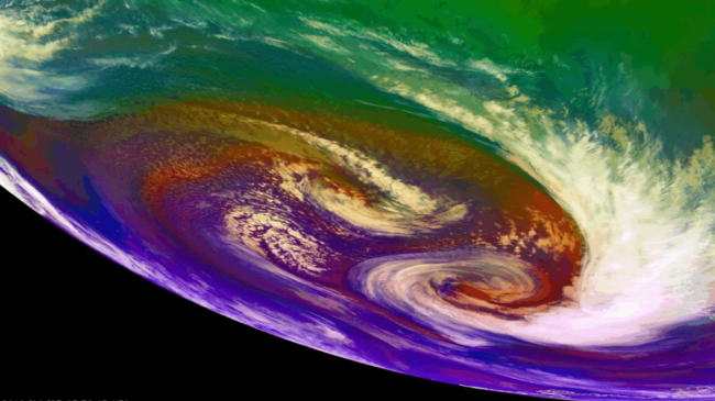
NOAA’s GOES-16 satellite used its Red-Green-Blue Air Mass Band to watch several areas of low pressure rotate around each other off the coast of Chile, June 2-3, 2019.

Winter’s on its way. Here's how NOAA satellites have you covered.

October 24, 2019
More On 
satellite images
geostationary satellite (GOES)
polar-orbiting satellite (POES)
winter
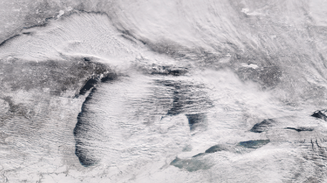
Lake effect snow bands moving across the Great Lakes, seen from the Suomi NPP polar-orbiting satellite on December 25, 2017.

NOAA sees fifth Hurricane Humberto through a high-powered lens

September 17, 2019
More On 
satellite images
hurricanes
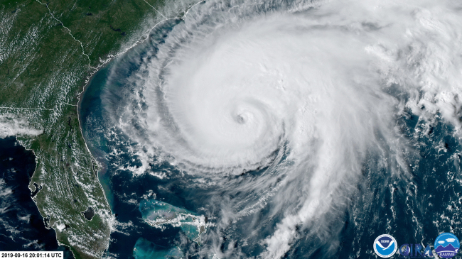
Hurricane Humberto, as captured by a NOAA satellite September 15, 2019.
  • About our agency
  • News and features
  • NOAA 50th

Stay connected

Share to Twitter Share to Facebook NOAA on Instagram NOAA on YouTube
NOAA HomeScience. Service. Stewardship.

How are we doing?

Feedbackopens in new window
  • Protecting Your Privacy
  • FOIA
  • Information Quality
  • Accessibility
  • Guidance
  • Budget & Performance
  • Disclaimer
  • EEO
  • No-Fear Act
  • USA.gov
  • Ready.gov
  • Employee Check-In
  • Staff Directory
  • Contact us
  • Need help?