  • Home
  • Weather
  • Climate
  • Ocean & Coasts
  • Fisheries
  • Satellites
  • Research
  • Marine & Aviation
  • Charting
  • Sanctuaries
  • Education
  • News and features
  • Our data
  • Tools & resources
  • About our agency
U.S. flag

An official website of the United States government

Here’s how you know

Dot gov

Official websites use .gov
A .gov website belongs to an official government organization in the United States.

HTTPS

Secure .gov websites use HTTPS
A lock (LockA locked padlock) or https:// means you’ve safely connected to the .gov website. Share sensitive information only on official, secure websites.
Find your local weather
Change location:
  • News
  • Data
  • Tools
  • About
 
 
NOAA mobile logo
NOAA logo National Oceanic and Atmospheric Administration U.S. Department of Commerce


All explainers

51 items
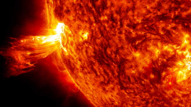
Powerful eruption from the surface of the sun captured on June 20, 2013.
Space weather: Storms from the Sun
June 23, 2016
Focus areas:
Satellites
Weather
Topics:
space weather
solar storms
Powerful eruption from the surface of the sun captured on June 20, 2013.
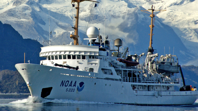
A 231-foot hydrographic survey vessel with the NOAA emblem on its bow plows through the water with snow-covered mountains in the background.
Arctic charting: Mapping a new frontier
June 21, 2016
Focus areas:
Charting
Ocean & Coasts
Topics:
charts and maps
nautical charts and maps
Arctic
A 231-foot hydrographic survey vessel with the NOAA emblem on its bow plows through the water with snow-covered mountains in the background.
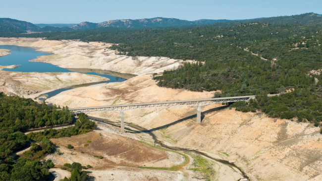
Lake Oroville, the second-largest state reservoir in northern California, experienced low water levels during the recent exceptional California drought.
Drought in America: Slow moving, far reaching
June 15, 2016
Focus areas:
Climate
Weather
Topics:
drought
wildfires
water
Lake Oroville, the second-largest state reservoir in northern California, experienced low water levels during the recent exceptional California drought.
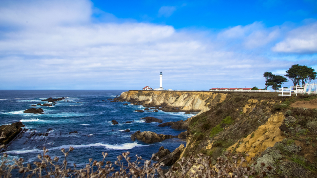
The Point Arena lighthouse watches over the northern part of Greater Farallones National Marine Sanctuary. Greater Farallones expanded in 2015 to encompass more than 3,000 square miles off the coast of California, including the rich upwelling zone that originates off of Point Arena and flows south.
How does NOAA designate a national marine sanctuary?
June 1, 2016
Focus areas:
Ocean & Coasts
Sanctuaries
Topics:
conservation
The Point Arena lighthouse watches over the northern part of Greater Farallones National Marine Sanctuary. Greater Farallones expanded in 2015 to encompass more than 3,000 square miles off the coast of California, including the rich upwelling zone that originates off of Point Arena and flows south.
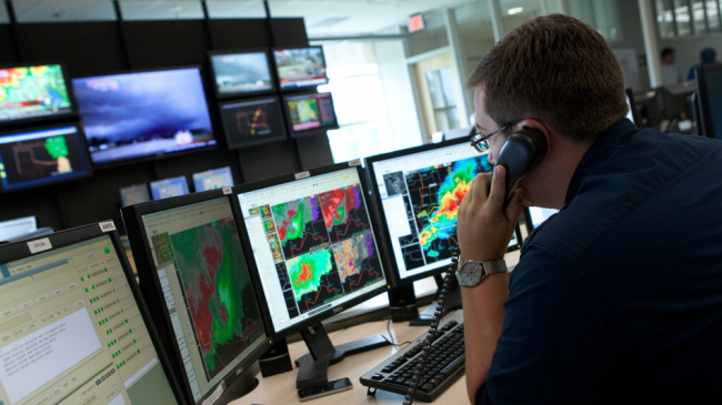
A National Weather Service meteorologist in Norman, Oklahoma, tracks a super cell tornado outbreak.
Improving weather forecasts
May 11, 2016
Focus areas:
Weather
Topics:
forecasts
A National Weather Service meteorologist in Norman, Oklahoma, tracks a super cell tornado outbreak.
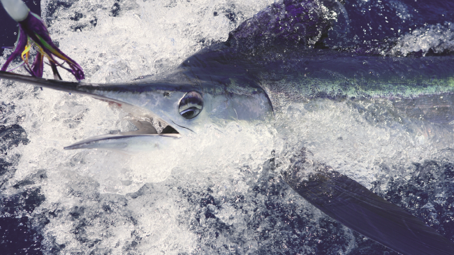
Recreational fishing for species such as swordfish is a major industry in the U.S.
Sustaining our nation’s fisheries
May 3, 2016
Focus areas:
Fisheries
Recreational fishing for species such as swordfish is a major industry in the U.S.
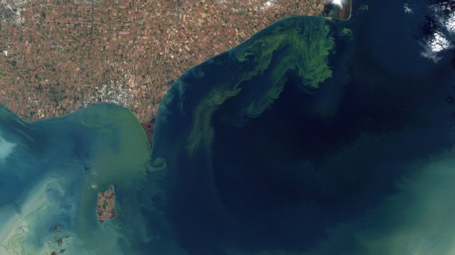
Satellite view of 2011 massive Lake Erie algal bloom, caused chiefly by phosphate runoff from agricultural fertilizer.
What is a harmful algal bloom?
April 27, 2016
Focus areas:
Ocean & Coasts
Topics:
harmful algal blooms (HABs)
Satellite view of 2011 massive Lake Erie algal bloom, caused chiefly by phosphate runoff from agricultural fertilizer.
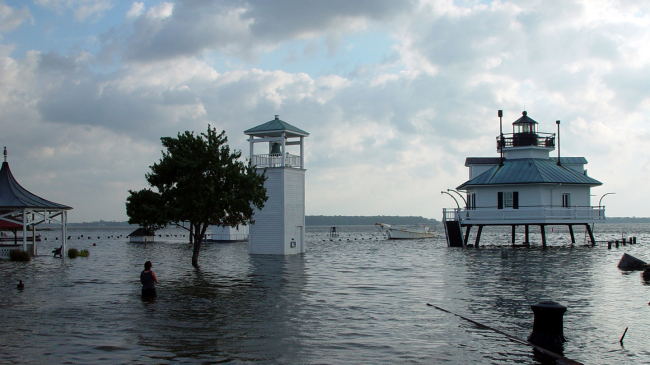
Flooding at the Hooper Strait Lighthouse in St. Michaels, Maryland, due to heavy rain and storm surge after the eye of Hurricane Isabel passed south of Chesapeake Bay on Sept. 11, 2003.
NOAA Sea Grant: 50 years of science serving America’s coasts
April 20, 2016
Focus areas:
Ocean & Coasts
Research
Flooding at the Hooper Strait Lighthouse in St. Michaels, Maryland, due to heavy rain and storm surge after the eye of Hurricane Isabel passed south of Chesapeake Bay on Sept. 11, 2003.
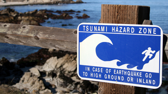
Tsunamai Hazard Zone.
U.S. tsunami warning system
April 19, 2016
Focus areas:
Ocean & Coasts
Weather
Topics:
tsunamis
Tsunamai Hazard Zone.
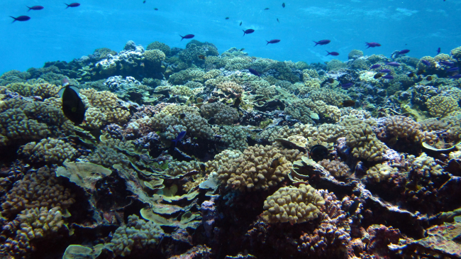
Healthy coral reefs, like this one in Swains Island in American Samoa, support an impressive array of marine life.
Coral reefs: Essential and threatened
April 14, 2016
Focus areas:
Ocean & Coasts
Sanctuaries
Topics:
coral reefs
Healthy coral reefs, like this one in Swains Island in American Samoa, support an impressive array of marine life.
  • Go to first pageFirst
  • Go to previous pagePrevious
  • Page 1
  • Page 2
  • Page 3
  • Currently on page 4
  • Page 5
  • Page 6
  • Go to next pageNext
  • Go to last pageLast
NOAA Home
Science. Service. Stewardship.
  • News
  • Tools
  • About
  • Resources for Tribal & Indigenous Communities
  • Bipartisan Infrastructure Law (BIL)
  • Inflation Reduction Act (IRA)
  • Protecting Your Privacy
  • FOIA
  • Information Quality
  • Accessibility
  • Guidance
  • Budget & Performance
  • Disclaimer
  • EEO
  • No-Fear Act
  • USA.gov
  • Ready.gov
  • Employee Check-In
  • Staff Directory
  • Contact Us
  • Need Help?
  • COVID-19 hub for NOAA personnel offsite link
  • Vote.gov
Stay connected to NOAA
NOAA on Twitter NOAA on Facebook NOAA on Instagram NOAA on YouTube
Back to top