Media resources
Other resources
Media resources
Other resources
Tools
NOAA's Weather and Climate Toolkit (WCT) is free, platform-independent software, distributed from NOAA's National Centers for Environmental Information (NCEI). The WCT allows the visualization and data export of weather and climate data, including Radar, Satellite and Model data. The WCT also provides access to weather/climate web services provided from NCEI and other organizations.
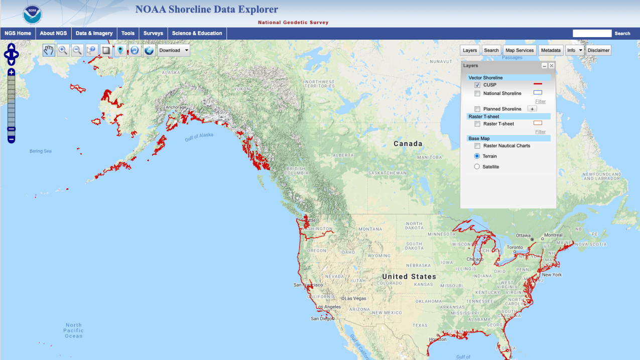
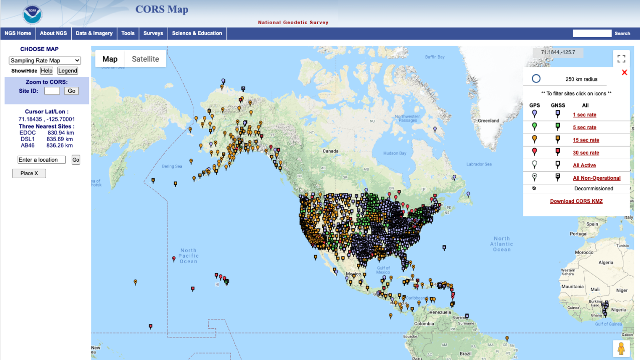
The National Geodetic Survey (NGS), an office of NOAA's National Ocean Service, manages a network of Continuously Operating Reference Stations (CORS) that provide Global Navigation Satellite System (GNSS) data in support of three dimensional positioning, meteorology, space weather, and geophysical applications throughout the United States, its territories, and a few foreign countries. Surveyors, GIS users, engineers, scientists, and the public at large that collect GPS or GNSS data can use CORS data to improve the precision of their positions.


