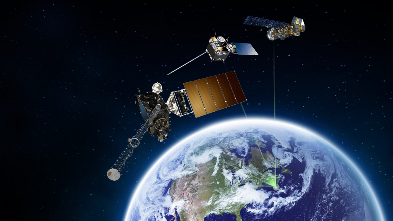
NOAA polar orbiting (right), geostationary (middle), and the new GOES-R series (left) satellites are part of the SARSAT constellation. (Image credit: NOAA)
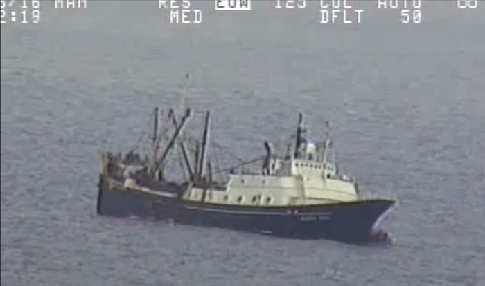
Forty-six crew members, with their lives hanging in the balance, were safely pulled from a sinking fishing vessel in the Bering Sea near Alaska last July. It was the largest single rescue in, or around, the United States credited to NOAA satellites and ground systems.
In 2016, a total of 307 people were rescued — the highest number since 2007, when 353 people were saved.

NOAA satellites are part of the international Search and Rescue Satellite Aided Tracking System, known as COSPAS-SARSAT. This system uses a network of spacecraft to detect and locate distress signals quickly from emergency beacons employed on aircraft, boats, and from handheld personal locator beacons, or PLBs.
When a NOAA satellite pinpoints the location of a distress signal, the information is relayed to the SARSAT Mission Control Center at NOAA’s Satellite Operations Facility in Suitland, Maryland. From there, the information is quickly sent to a Rescue Coordination Center, operated by either the U.S. Air Force for land rescues, or the U.S. Coast Guard for water rescues.
Of the 307 rescues in 2016, 205 were waterborne rescues, 23 were from aviation incidents and 79 were land based rescues utilizing PLBs. Other rescue highlights from 2016 include:
|
|
|
"On any given day, at any given time, NOAA satellites can play a direct role in saving lives,” said Chris O’Connors, NOAA SARSAT program manager. “These rescues underscore SARSAT’s true value.”
Since the program’s inception in 1982, COSPAS-SARSAT has been credited with supporting more than 41,000 rescues worldwide, including more than 8,000 in the United States and its surrounding waters.
Owners are required to register their emergency beacons with NOAA online. That registration information often helps provide better and faster assistance to people in distress. It may provide information about the location of the emergency, how many people need assistance, what type of help may be needed and ways to contact the owner. At the end of 2016 NOAA’s registration database contained more than 515,000 entries.
Additional Information:
View map of SARSAT U.S. rescues


