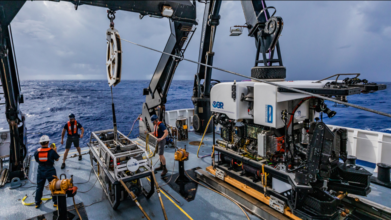
NOAA crew and scientists aboard NOAA Ship Okeanos Explorer prepare to deploy remotely operated vehicles that will help NOAA explore and characterize the features and marine life of the Atlantic deep ocean off South Carolina. This photo was taken on June 14, 2018. (Image credit: NOAA)
The United States has more than three million square nautical miles of underwater territory off its coasts known as our Exclusive Economic Zone, yet we’ve only explored a fraction of this frontier.
This week, the federal government announced detailed strategies to fully map, explore, and characterize the resources in our waters. NOAA is already playing a key role in this work and helped design the strategies with other federal partners.
The federal initiative proposes to take advantage of major technological advances in underwater ocean exploration and mapping, and harness key partnerships with states, academia, non-governmental organizations, industry, and philanthropy. The goal is to reveal the mysteries in America’s ocean backyard and unleash the full potential of our waters for economic growth, marine environmental protection, human health, and national security.
For more information on these strategies see this fact sheet from the Council on Environmental Quality.


