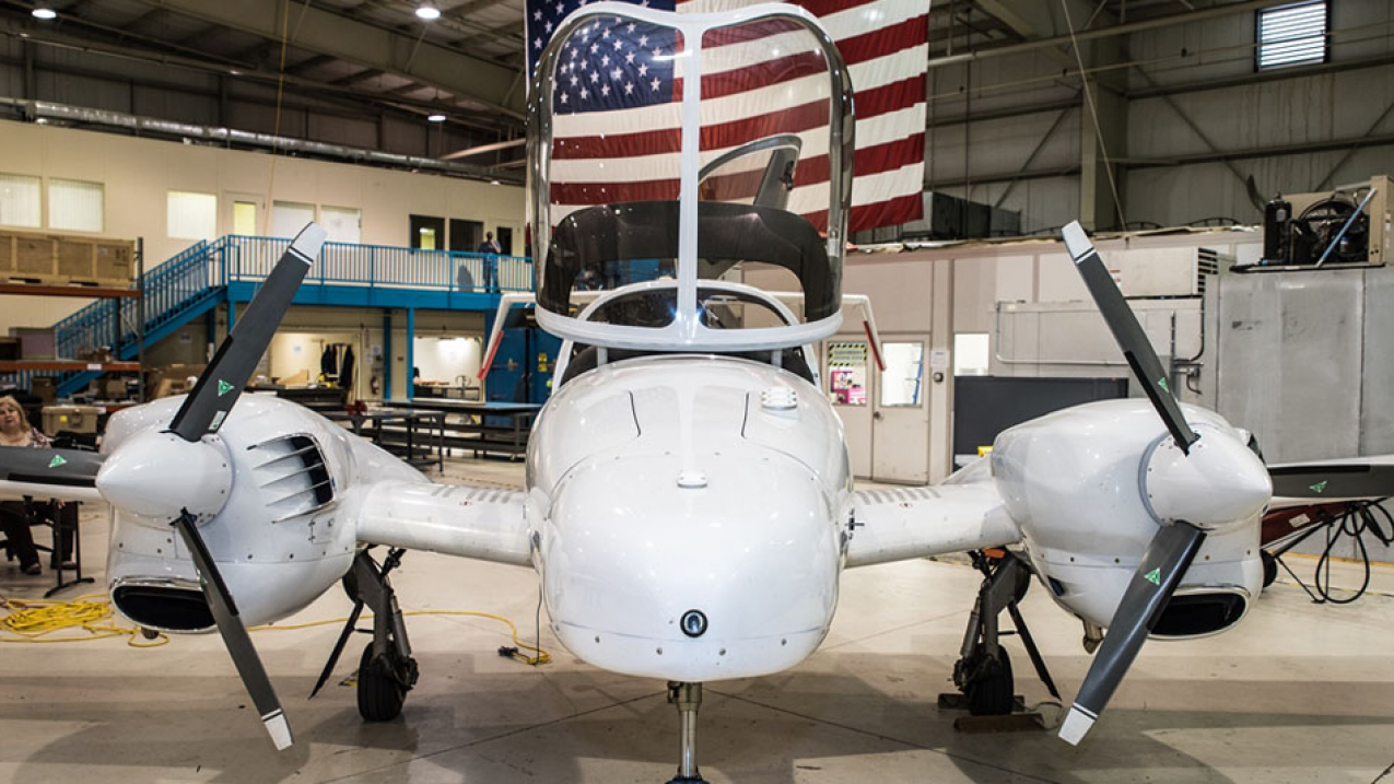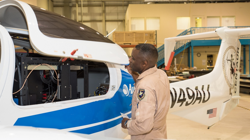
NOAA is exploring using unmanned aircraft to more efficiently collect gravity data around the nation. (Image credit: NOAA)
Did you know the Earth’s gravity is different depending on where you are? Variations in its size, shape, and mass distribution can cause slight variations in the strength of gravity’s pull.
Measuring these variations in gravity helps scientists create a height measurement system based on where water will flow. Having these measurements will help prepare for floods, sea level rise, and other emergencies — making our coastal communities more resilient and aiding a number of diverse industries such as agriculture, construction, transportation and urban planning.

To do just that, NOAA’s National Geodetic Survey is in the middle of a 15-year effort called Gravity for the Redefinition for the American Vertical Datum, or GRAV-D. Its goal is to increase the accuracy of today’s elevation measurements with more precise data obtained through measuring gravity nationwide. NGS scientists are collecting gravity data from all over the country with aircraft.
And they’re exploring a pilot program -- but without a pilot. NOAA's Unmanned Aircraft Systems Program worked through NOAA's Small Business Innovation Research Program to test unmanned aircraft systems for gravity measurements. SBIR funds high-risk, high-reward projects that not only help NOAA to meet its mission, but also open up new markets for industry.
Aurora Flight Sciences in Manassas, Virginia, was awarded the broadly competed project. This month, Aurora tested this technology, demonstrating the potential to conduct regular unmanned flights with NOAA instruments. The test flights represent one of the first times an unmanned aircraft system was evaluated for measuring gravity.
With 50 percent of the nation already measured through piloted airplanes, NGS now hopes to include unmanned aircraft as a tool to reach remote locations more efficiently, at lower costs and with less environmental impact.
NGS plans to complete the GRAV-D project in 2022. This will bring about big benefits, with an estimated $522 million in annual economic benefits and approximately $240 million saved from improved floodplain mapping alone.


