According to a new NOAA report issued today, many mid-Atlantic and West Coast communities could see the highest number of nuisance flooding days on record through April due to higher sea levels and more frequent storm surge, compounded by the strengthening El Niño, which is likely to continue into the spring.

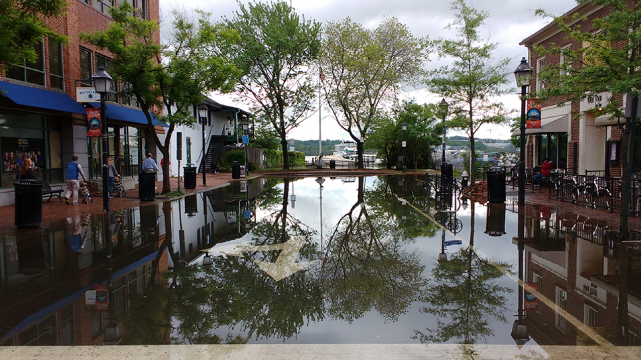
Flooding on King Street in Alexandria, Virginia. (Image credit: NOAA)
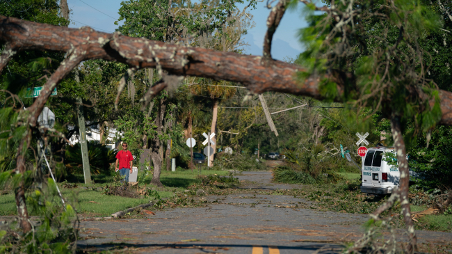
A car splashes through a flooded Charleston neighborhood. Nuisance flooding causes public inconveniences such as frequent road closures, overwhelmed storm water systems, and compromised infrastructure. (Credit: NOAA)
These communities may experience a 33 to 125 percent increase in the number of nuisance flooding days, the report said.
These findings build upon two nuisance flooding reports issued last year led by NOAA scientists William Sweet and John Marra. The previously published reports show coastal communities in the United States have experienced a rapid growth in the frequency of nuisance tidal flooding, a 300 to 925 percent increase since the 1960s, and will likely cross inundation tipping points in the coming decades as tides become higher with sea level rise.
“We know that nuisance flooding is happening more often because of rising sea levels, but it is important to recognize that weather and ocean patterns brought on by El Niño can compound this trend,” said Sweet. “By using the historic data that NOAA has collected from tide gauges for more than 50 years, we can better understand and anticipate how the weather patterns may affect nuisance flooding in these communities.”
This table shows communities in the U.S. that may see an increase in predicted nuisance flooding due to El Nino. (Credit: NOAA)
The new report, 2014 State of Nuisance Tidal Flooding, highlights nuisance flood frequencies during the 2014 meteorological year, May 2014 through April 2015, at 27 NOAA tide stations around the United States which have collected data for more than 50 years. The report, for the first time, gives an experimental outlook for the 2015 meteorological year that considers historical flooding trends and differences typical during El Niño.
For instance, these nuisance flooding projections are based on trends that factor in El Niño:
-
Norfolk, Virginia, experienced eight nuisance flood days during the 2014 meteorological year. It may experience 18 days in meteorological year 2015 with El Niño, a 125 percent increase over the projected eight days.
-
Atlantic City, New Jersey, had 21 nuisance flood days in meteorological year 2014. It may experience 36 days in meteorological year 2015 with El Niño, a 33 percent increase over the projected 27 days.
-
San Francisco, California, had 11 nuisance flood days during meteorological year 2014. It may experience 21 days during meteorological year 2015 with El Niño, a 75 percent increase over the projected 12 days.
The forecast for more nuisance flooding is problematic for these regions as it comes on top of the high nuisance flooding rates they experienced during 2014 and which continue to move upwards as predicted by 1950-2013 trends.
“Improving the resilience of coastal communities means helping them to understand their risks,” said Holly Bamford, Ph.D., assistant NOAA administrator for the National Ocean Service, performing duties of the assistant secretary of commerce for conservation and management. “NOAA monitors sea level trends and interprets how those trends project into the future. This is especially important for coastal community and regional planners in preparing to protect their communities from both nuisance flooding and the increased risk of storm surge which can come from it.”
Nuisance flooding causes public inconveniences such as frequent road closures, overwhelmed storm water systems, and compromised infrastructure. The extent of nuisance flooding depends on multiple factors, including topography and land cover. The study defines nuisance flooding as a daily rise in water level above minor flooding thresholds set locally by NOAA weather forecasters and emergency managers for coastal areas prone to flooding.
Nuisance flooding — which causes such public inconveniences as frequent road closures, overwhelmed storm drains and compromised infrastructure — has increased on all three U.S. coasts, between 300 and 925 percent since the 1960s. (Credit: NOAA)
NOAA plans to continue tracking and reporting recurrent tidal flooding around the country to help communities assess their current situation and plan for future changes already underway.
NOAA’s Center for Operational Oceanographic Products and Services has measured sea levels in the United States for more than 150 years and is the nation’s authoritative source for sea level trends through its National Water Level Observation Network.
NOAA’s National Centers for Environmental Information (NCEI) is responsible for hosting and providing access to one of the most significant archives on earth, with comprehensive oceanic, atmospheric, and geophysical data. From the depths of the ocean to the surface of the sun and from million-year-old tree rings to near real-time satellite images, NCEI is the nation’s leading authority for environmental information.
NOAA’s mission is to understand and predict changes in the Earth's environment, from the depths of the ocean to the surface of the sun, and to conserve and manage our coastal and marine resources. Join us on Facebook, Twitter, Instagram and our other social media channels.
Contact:
Keeley Belva
301-713-3066


