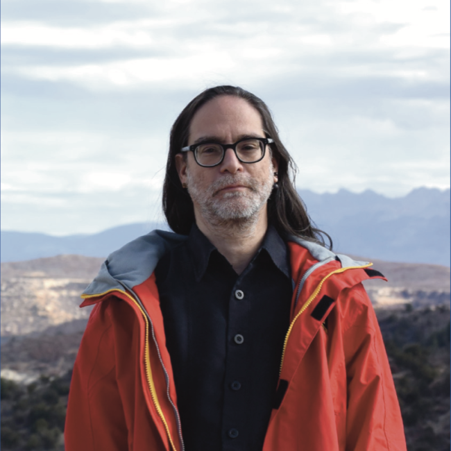
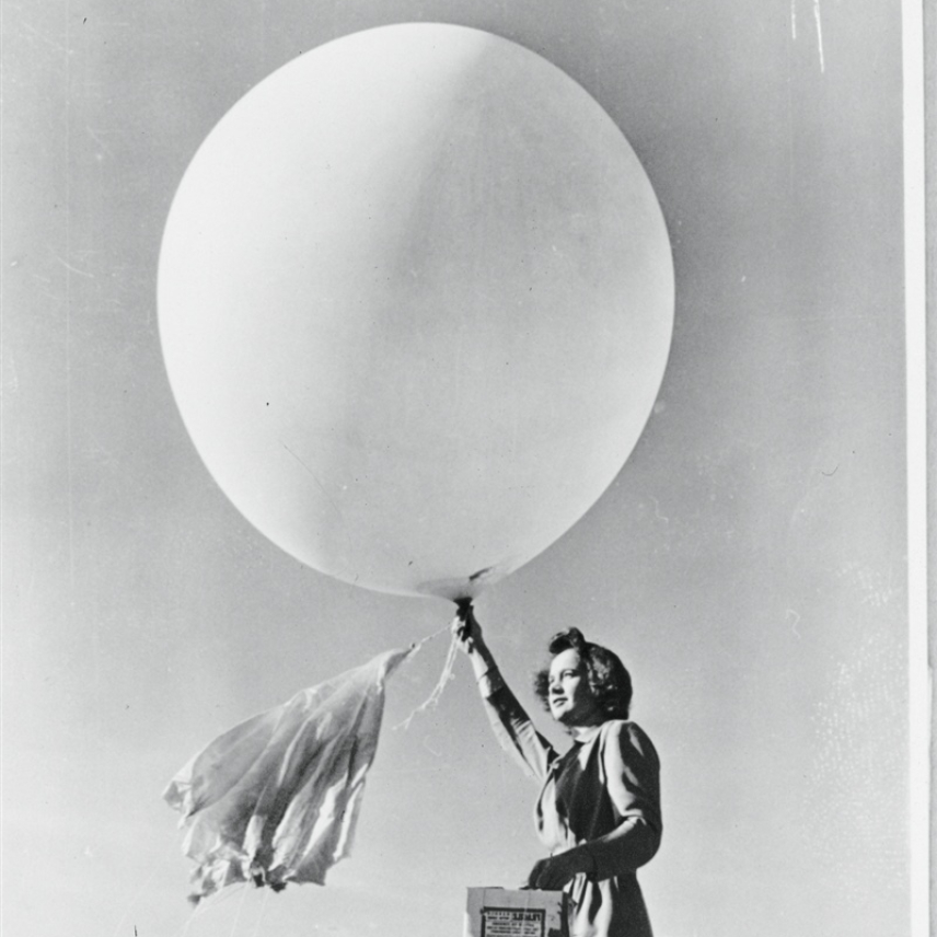
This oral history was conducted by Molly Graham in 2019 as a part of the NOAA 50th Anniversary Oral History Project.

Tenure at NOAA: 1960-1999
Returned as a contractor to ARL in 1999. (Image credit: NOAA Heritage)
Jerome “Nick” Heffter, a meteorologist and modeler with NOAA’s Air Resources Laboratory, was a pioneer in modeling the dispersion of nuclear radiation and other atmospheric pollutants during the Cold War era. Heffter started his career as a weather forecaster for the U.S. Air Force in Tripoli, Libya in the 1950s - where he reportedly observed the hottest temperature on record at the time - 136 degrees Fahrenheit. After he joined the U.S. Weather Bureau, the predecessor to NOAA’s National Weather Service, he helped forecast nuclear fallout trajectories during military weapons testing in the 1960s. He tracked the release of radiation from the Chernobyl and Three Mile Island events in the late 1970s and 1980s and then went on to lead NOAA’s program to model volcanic ash dispersion.
Heffter retired from NOAA in 1999 but continues to work as a contractor for NOAA Research in the Air Resources Laboratory verifying models in tracer experiments.
Hear a snippet of the interview recorded September 25, 2019:
Listen to the full interview with Nick Heffter.
Transcript:
[Editor’s note: this transcript has been edited for clarity and may deviate slightly from the audio.]
On becoming a meteorologist…
NH: If you wanted to stay out of the Korean War, you joined ROTC, and that was the thing to do. I was in the Air Force ROTC. Between my junior and senior year, I went to boot camp in Colorado. I managed up until that time to qualify in pilot training. Everybody who was in ROTC Air Force wanted to be pilots. Well, there were some who were observers, which was the other option. When I got out to boot camps, they gave me a couple of tests, regular tests. Then we went into a lab, and there was an eye test where you look into some machine with dots or little circles, three by three – depth of field, I guess. The guy said, “Now, which one is sticking out?” I said to him, “What do you mean, sticking out?” He said, “Which one comes out at you?” I said, “None of them do.” He said, “Okay.” So I was informed I could not be a pilot because I didn’t have depth of field. So I was going to fall back into the observer category. But, since it was the Korean War, the observer positions were all filled. So I had my choice. I went back to school, and some officer gave me my choice. He said, “Look, we can get you into the Army as a Second Lieutenant. You can graduate, go over to Korea, and probably go on the front lines. Or, we’ll send you to become a meteorologist, to grad school.” So, guess what I chose. That’s what got me into meteorology.
On starting the volcanic ash modeling program….
NH: The volcanic ash [program] has a long, interesting history. The thing that started it all was Mount St. Helens, which was in 1980. It was a major disaster. That really was the start of the volcanic ash work.
It was discovered that aircraft engines, whether they were propeller or jet, did not take well to volcanic ash. The ash itself is made up of very small particulate, sharp like razor blades. What they did was they got into the engines and coated out on the engines, and the engines then would stop. If you’re in the air, this is not so good.
At that time, they realized that they had to initiate some kind of a [response] program. So there was an MoU [memorandum of understanding] that was put out to develop a program for volcanic ash and aircraft safety. I was put on the board of that. There were several of us that ran that program in conjunction with the airlines and NOAA and the FAA. We spent a lot of time developing procedures [on] how we would get information to the airlines about the movement of volcanic ash, as it would affect aircraft flight operations.
That program started about 1980, and it took us roughly nine years to get that implemented! It had to be implemented through the FAA – it was very complex. It required a lot of different agencies and people to be involved. Then it had to be available on an emergency basis. So they needed something that could be presented. Not only the work itself but a way to get that work to pilots or to agencies that could then transmit the information to pilots that were going to be flying.
I developed what I called VAFTAD, which was the Volcanic Ash Forecast Transport and Dispersion model. We knew how to do it because we had great trajectory programs at that time. We could run them at kinds of levels and do anything you wanted with them – backwards, forwards. This was, of course, just forwards. But the problem was how to get that information to the pilots or to whoever would get it to the pilots, and what the pilots would understand from it. They had to know what was going on. There were no procedures; there were no little bugs with feelers. So I developed a series of panels that could be sent out over facsimile at the time.
[...]
We spent a lot of time [on this]. I would develop something and send it off, let the people look at it, then make comments – different panels, different times, the things that they might be interested in – look at the total cloud going out, look at just the lower parts of the cloud, the upper parts, the mushroom section – these volcanic ash eruptions look a little bit like nuclear clouds. We finally got a product that we got running operationally, got it out, and I think running on fax something like that just months before the [Mount] Redoubt [eruption].


