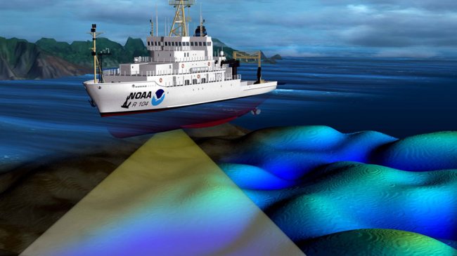
Podcast: The future is here for NOAA's nautical charts April 19, 2021 More On nautical charts and maps
NOAA begins transition exclusively to electronic navigation charts February 26, 2021 More On nautical charts and maps
Three datum updates for an ever-changing Earth November 23, 2020 More On nautical charts and maps navigation
Mapping the seafloor for signs of tsunami risk in Alaska's waters September 11, 2020 More On nautical charts and maps tsunamis
NOAA improves marine navigation near Georgia and New Hampshire naval bases September 10, 2020 More On ports
Searching for WWII-era aircraft lost in the Great Lakes January 9, 2020 More On shipwreck Great Lakes nautical charts and maps
A tale of two feet: NOAA moves to more precise positioning October 7, 2019 More On geodesy measurements and observations
Coast Survey field test shows potential of unmanned surveys August 19, 2019 More On nautical charts and maps
Podcast: Heard of meteotsunamis? Tune in to our chat with a NOAA oceanographer July 25, 2019 More On podcast tsunamis
NOAA offers free nautical products for boating fun and safety May 30, 2019 More On boating safety nautical charts and maps
New nautical chart symbol guide available for free download May 16, 2019 More On nautical charts and maps
NOAA nautical guides now offer Coast Guard 'rules of the road' April 4, 2019 More On nautical charts and maps
NOAA scientists are revolutionizing how we measure accurate heights March 25, 2019 More On measurements and observations
Drones for science: Flying high to better map our shorelines December 7, 2018 More On technology & innovation
NOAA preserves Washington, DC history with reproduced L’Enfant maps November 2, 2018 More On charts and maps
NOAA detects navigation hazards following Hurricane Michael October 18, 2018 More On hurricanes navigation