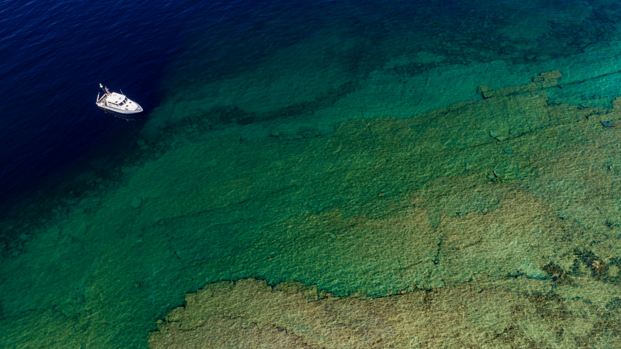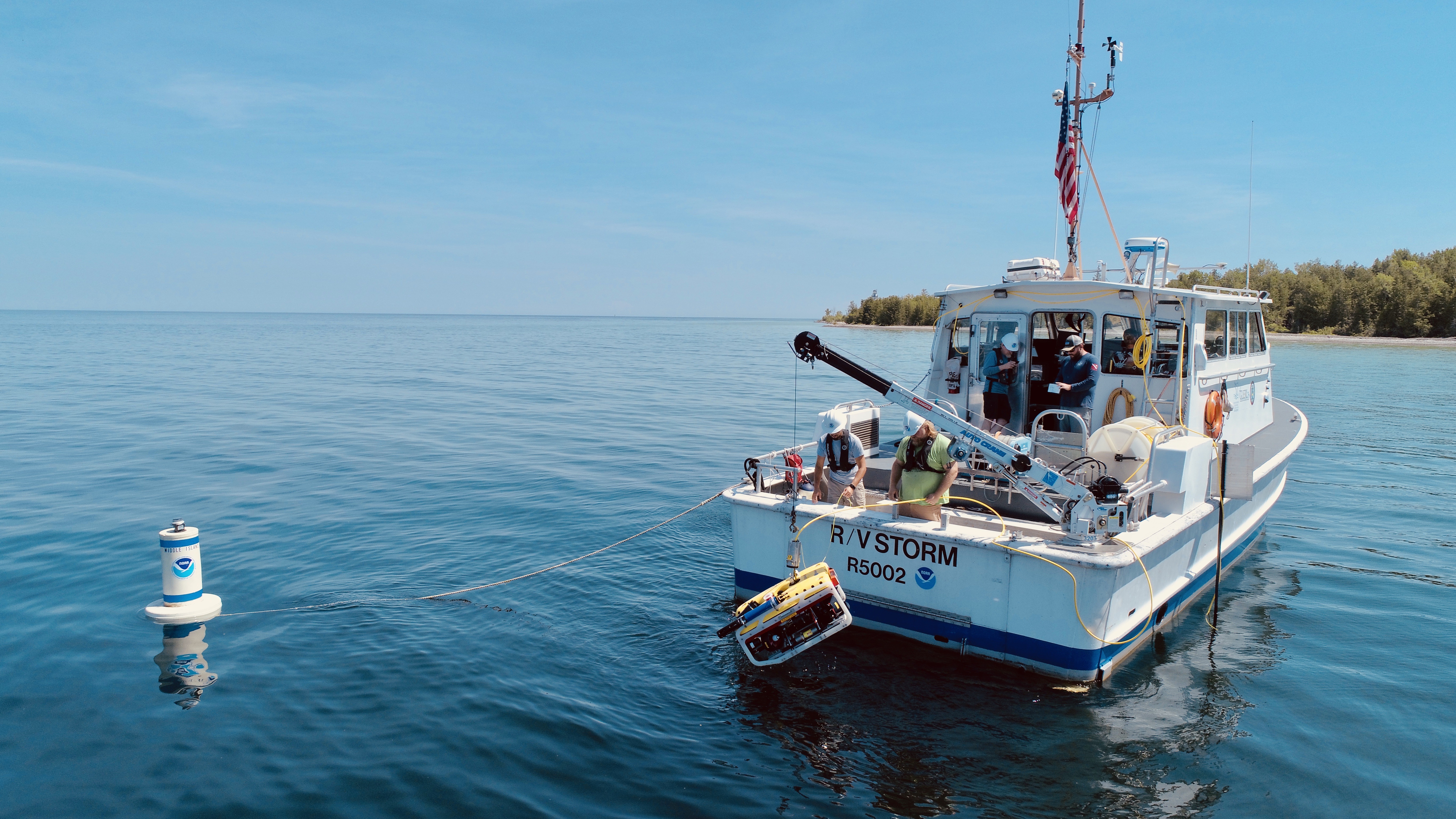
Researchers on NOAA's Research Vessel Storm pause above the Middle Island sinkhole in northern Lake Huron, off the coast of Alpena, Michigan. July 17, 2019. (Image credit: Courtesy of David J Ruck/Great Lakes Outreach Media)
This summer, NOAA researchers are studying an unusual feature of Lake Huron: giant sinkholes.
Scientists already estimate how much water comes into and out of the Great Lakes by measuring precipitation, runoff, evaporation and other processes; these “deposits” and “withdrawals” all play into NOAA’s forecasts of Great Lakes water levels.
Determining the amount of water supplied specifically by sinkholes, however, requires more research.
Despite some being more than 300 feet across and up to 60 feet deep, sinkholes aren’t likely contributors of large volumes of water, but just knowing the amount could help scientists get a more accurate reading on water levels across the Great Lakes.
“Even an inch of extra water in the lakes can make a difference for the shipping industry and other businesses — especially during years when water levels are low,” said Steve Ruberg, a scientist at NOAA’s Great Lakes Environmental Research Laboratory (GLERL) leading the sinkhole research.

Understanding the secret life of sinkholes
So, how do you find a sinkhole to study? First, scientists use a remotely operated vehicle, or ROV, which dives down with a camera to search on the lake floor. Once it finds a hole, it takes photos and measures its temperature, depth and conductivity, which provides information on minerals in the water.
The water found at the bottom of sinkholes is high in sulfate and low in oxygen levels, and thus is a perfect habitat for microorganisms known as cyanobacteria that form the somewhat eerie purple, white and green carpets on the lake floor.
Some communities of cyanobacteria have been living in near-shore sinkholes since the glaciers receded offsite link in the Great Lakes region thousands of years ago, so learning about these microorganisms helps scientists understand the history of the Great Lakes. Though Lake Huron is the focus of this research, it’s likely sinkholes exist elsewhere; evidence suggests Lake Michigan has some as well.
A serendipitous discovery
It’s thought that sinkholes in Lake Huron were created thousands of years ago, when a chemical reaction between limestone and acidic groundwater dissolved away holes in the lake’s bedrock.
Scientists, however, have been studying the sinkholes for only about the last 18 years. They weren’t discovered until 2001 during a research cruise in Lake Huron’s Thunder Bay National Marine Sanctuary. The sonar technology used to scan shipwrecks in the sanctuary revealed something unexpected: dozens of giant cavities in the floor of the lake.
Now, nearly two decades later, NOAA GLERL scientists and their partners at the University of Michigan offsite link and Grand Valley State University offsite link continue to discover more about the mysterious ways of sinkholes on every research cruise.


