Now in operation from deep space

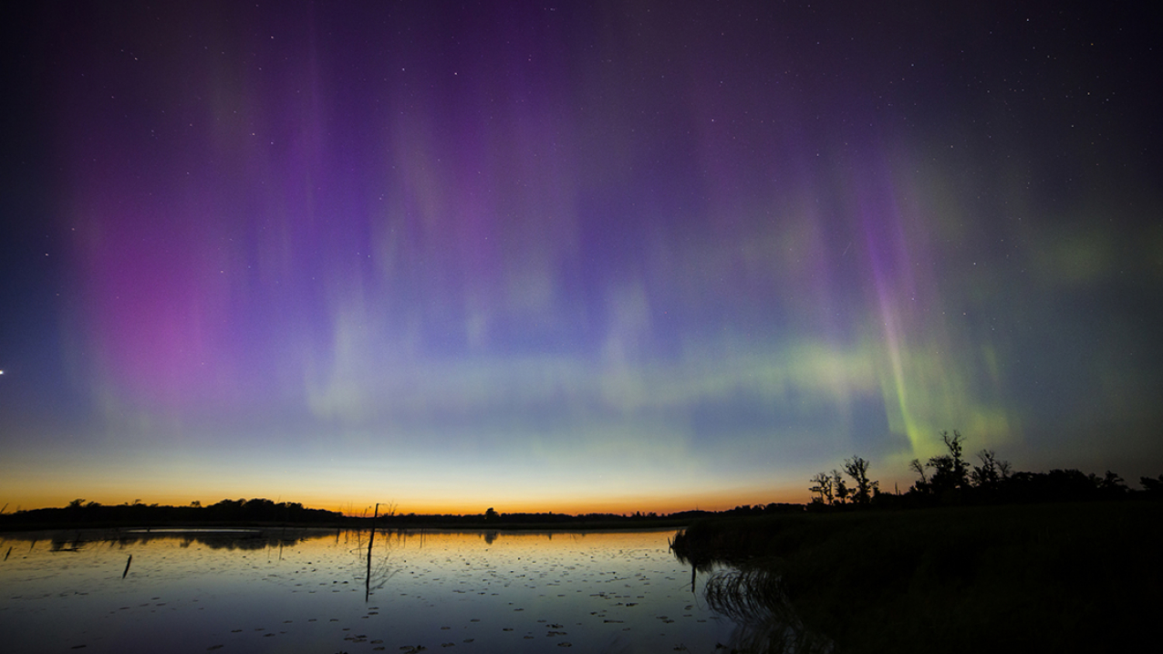
A view of the northern lights from the Minnesota wetlands. (Image credit: iStock Photo)
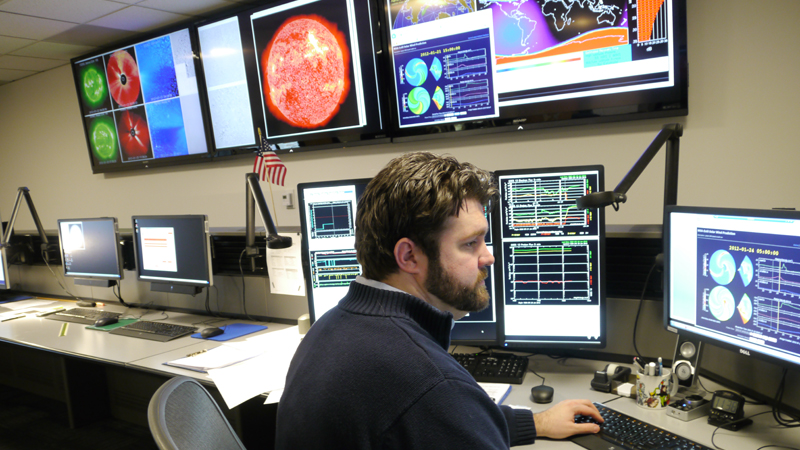
As of noon today, data from NOAA’s first deep space weather satellite – orbiting a million miles away between the Earth and the sun – is making its way into the hands of forecasters at NOAA’s Space Weather Prediction Center, the nation’s official source of space weather alerts and warnings
Space weather fortunately poses little direct risk to humans. It can, however, disrupt power grids, aviation, telecommunications and GPS systems. This new satellite, DSCOVR (Deep Space Climate Observing Laboratory), is now in operation and serving as America's primary warning system when solar activity is detected.
What can we expect from DSCOVR, starting today?
1. Geomagnetic storm forecasts

When there is an eruption on the sun, high-velocity solar winds and plasma are released into the solar system. DSCOVR’s sensors measure the speed, density and temperature of the solar wind, and the strength and direction of the strong magnetic field as storms approach Earth, giving space weather forecasters better information with which to issue critical space weather warnings and alerts. Learn more about geomagnetic storms.
2. Aurora forecasts

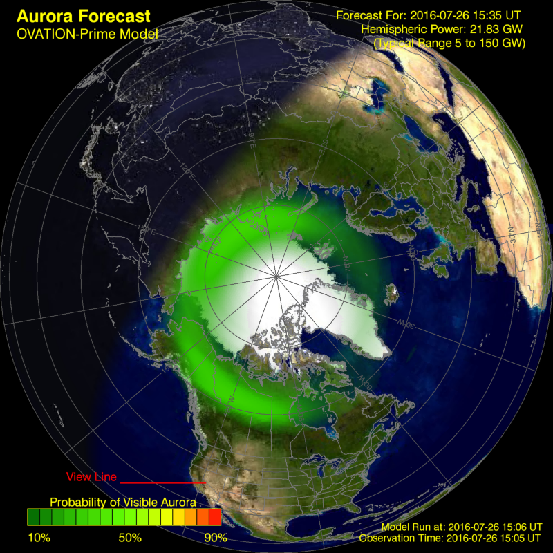
Viewing aurora borealis should probably be on everyone’s must-see list. The aurora borealis, or the northern lights, are the result of space weather interacting with Earth’s atmosphere. NOAA scientists will not only use DSCOVR data to monitor space weather for potentially harmful geomagnetic storms, but they will also use the data to provide forecasts on where you might see the spectacular red, purple, and green curtain-like lights of an aurora.
3. Regional space weather forecasts

Space weather can disrupt GPS, telecommunications and the nation's power grid. (iStock)
Later this year, DSCOVR data will be used in a new forecast model – the Geospace Model – which for the first time will provide businesses, communities and emergency managers with critical regional data when a space weather threat is imminent. A solar storm, for instance, may bring a higher danger to one region of the world but not another, making this more localized short-term forecast an important decision-making tool. Up until now, NOAA’s Space Weather Prediction Center issued a single forecast for the entire planet. The Geospace Model will provide a global map showing the intensity of predicted space-weather impacts by latitude, longitude and time.


