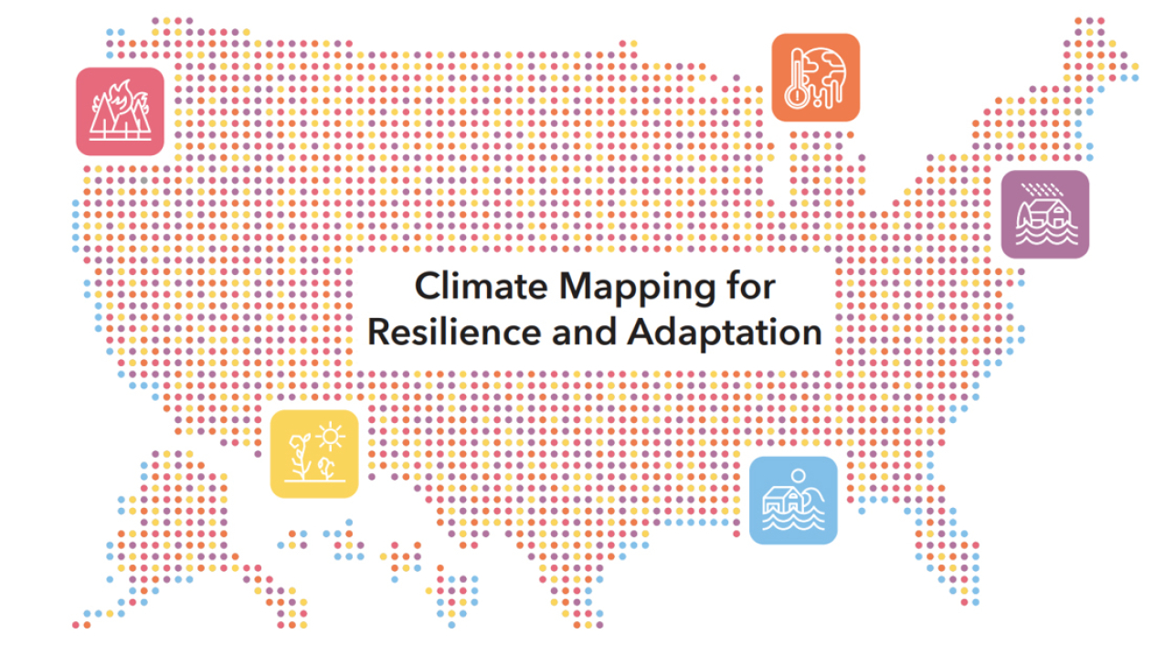
A graphic from the Climate Mapping for Resilience and Adaptation website showing depictions of climate hazards across the United States. (Image credit: ESRI)
Today, the Biden-Harris Administration in partnership with Department of Commerce’s National Oceanic and Atmospheric Administration (NOAA) and the Department of the Interior (DOI) jointly launched a new website to help communities across the nation understand the real-time climate-related hazards in their area, analyze projected long-term exposure to those hazards, and identify federal funds to support climate resilience projects for their communities.
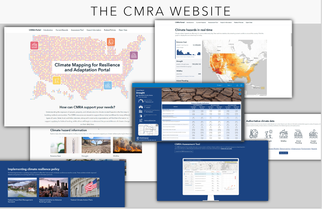
The Climate Mapping for Resilience and Adaptation (CMRA) portal, an easily accessible and interactive geospatial website, will help federal, state, local and tribal governments as well as non-profit organizations learn about climate hazards impacting their communities.
“From day one, President Biden made a clear commitment to protect our most vulnerable communities from the impacts of climate change,” said Deputy National Climate Advisor Ali Zaidi. “This website is designed as a one-stop shop to equip those on the ground with the tools they need to plan and prepare, and to access federal resources to build greater resilience.”

CMRA integrates decision-relevant information from across the U.S. government, including climate maps and data; non-climate data such as building code standards, economic justice, and social vulnerability information; and federal grant funding opportunities. The website’s new CMRA Assessment Tool offers information on past, present, and projected future climate conditions to support planners and managers in assessing their exposure to climate-related hazards, including drought, extreme heat, coastal and inland flooding, and wildfire. The site helps users create their own custom climate exposure assessment for specific locations and customize statistics and visual representations of the hazards in their particular area.
The portal also serves as a key tool to aid in the planning and implementation of federal investments, such as the Bipartisan Infrastructure Law (BIL) and Inflation Reduction Act. CMRA supports users in evaluating future climate threats to federally-funded projects. It also provides information on various federal grant programs that can fund climate resilience efforts.
“The climate crisis is hurting our communities and our economy,” said U.S. Secretary of Commerce Gina Raimondo. “Addressing climate change and building climate resilience are among the Commerce Department’s top priorities. By combining critical climate data and climate-hazard information with the resources to help fund resilience and adaptation projects, CMRA will be an invaluable tool for local communities across America.”
CMRA incorporates White House goals for equity and inclusion principles into all information on resilience projects. Prospective grant applicants can use CMRA to ensure their projects have accounted for exposure to current and future climate-related hazards, and that their planned actions reduce exposure and risk in ways that are equitable and inclusive.
“Building climate resilience starts with communities, leaders, and other decision makers understanding their specific climate threats,” said NOAA Administrator Rick Spinrad, Ph.D. “CMRA provides the public with the same NOAA-powered data that the federal government relies on every day to make sound decisions about climate preparedness. We’re honored to host and manage CMRA and believe it can become the first line of defense in protecting people, property, and infrastructure.”
The collaborative interagency group developing CMRA includes the White House Domestic Climate Policy Office, Office of Science and Technology Policy, and Council on Environmental Quality; Office of Management and Budget; and members of the White House Climate-Smart Infrastructure Interagency Working Group.
CMRA was developed by Esri offsite link, a geographic information system software company, through a contract with NOAA. Development of CMRA was co-funded by NOAA and DOI using 2022 BIL funds. Learn more about climate resilience and adaptation efforts, and explore the CMRA web portal at resilience.climate.gov.
Media contact
Lori Arguelles, NOAA, lori.arguelles@noaa.gov, (571) 439-4084


