Whether protecting precious resources, exploring hidden realms teeming with life, or championing breakthroughs in ocean science and technology, NOAA is a vital presence in the global ocean. This story map highlights some of NOAA's leading-edge initiatives.
Our Ocean. (Image credit: NOAA)
Revolutionizing Earth observations
Saildrones are a game-changer in Earth observations. Powered by wind and sunlight, they are revolutionizing our understanding of how changes in the ocean affect weather, climate, fisheries, and marine mammals.
The intrepid drones can collect two million measurements daily in near real-time. Last year’s journey through the daunting Bering Strait to the Arctic Ocean was a milestone in collecting atmospheric and oceanic data in remote areas of the world.
NOAA Research’s Pacific Marine Environmental Laboratory partnered with Saildrone Inc. in 2014 and continues to test research capabilities such as new sensors at the equator to improve weather and climate forecasts, including for El Niño.
Since NOAA’s Alaska Fisheries Science Center joined the effort, NOAA has probed Arctic sea ice loss, located elusive right whales through sound, researched commercially harvested fish populations, and beamed video on Northern fur seals to better understand their declining population.
Revealing remote Pacific marine ecosystems
When NOAA and partners conducted expeditions in the central and western Pacific, people from around the world tuned in to see live footage from some of the most remote marine ecosystems in the world.
NOAA’s multi-year CAPSTONE Campaign addressed Pacific monument science, technology and ocean needs. NOAA’s Office of Ocean Exploration and Research and partners conducted the expeditions aboard NOAA Ship Okeanos Explorer with more than 260 participating scientists, students and natural resource managers.
Over 200,000 square miles of seafloor were mapped, potentially new species were observed, and there were fresh insights about species already known, including how marine life interacts between different zones such as the water column and seafloor.
Creating hubs of fun, learning & economic growth
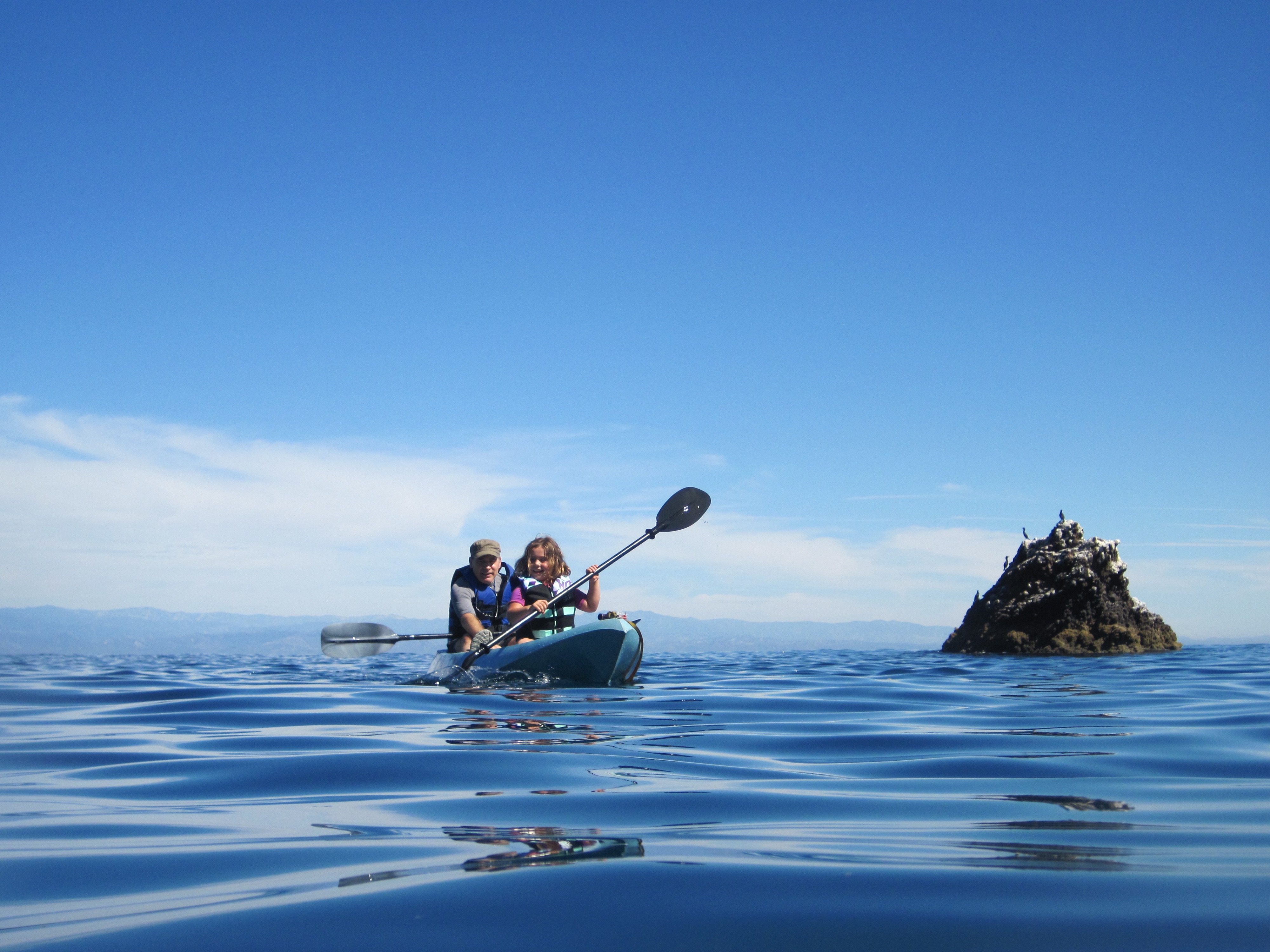
Marine Protected Areas (MPAs) are vital to ocean health. They’re hubs of recreation, research and education and help drive coastal economies. Our cultural heritage is preserved deep within their waters.
MPAs cover nearly 26 percent of our nation's marine waters, and NOAA and our partners manage most of this area. NOAA manages 13 National Marine Sanctuaries and co-manages 29 National Estuarine Reserves and five National Marine Monuments.
NOAA is home to the nation’s MPA Center, a partnership established in 2000 with the U.S. Department of the Interior.
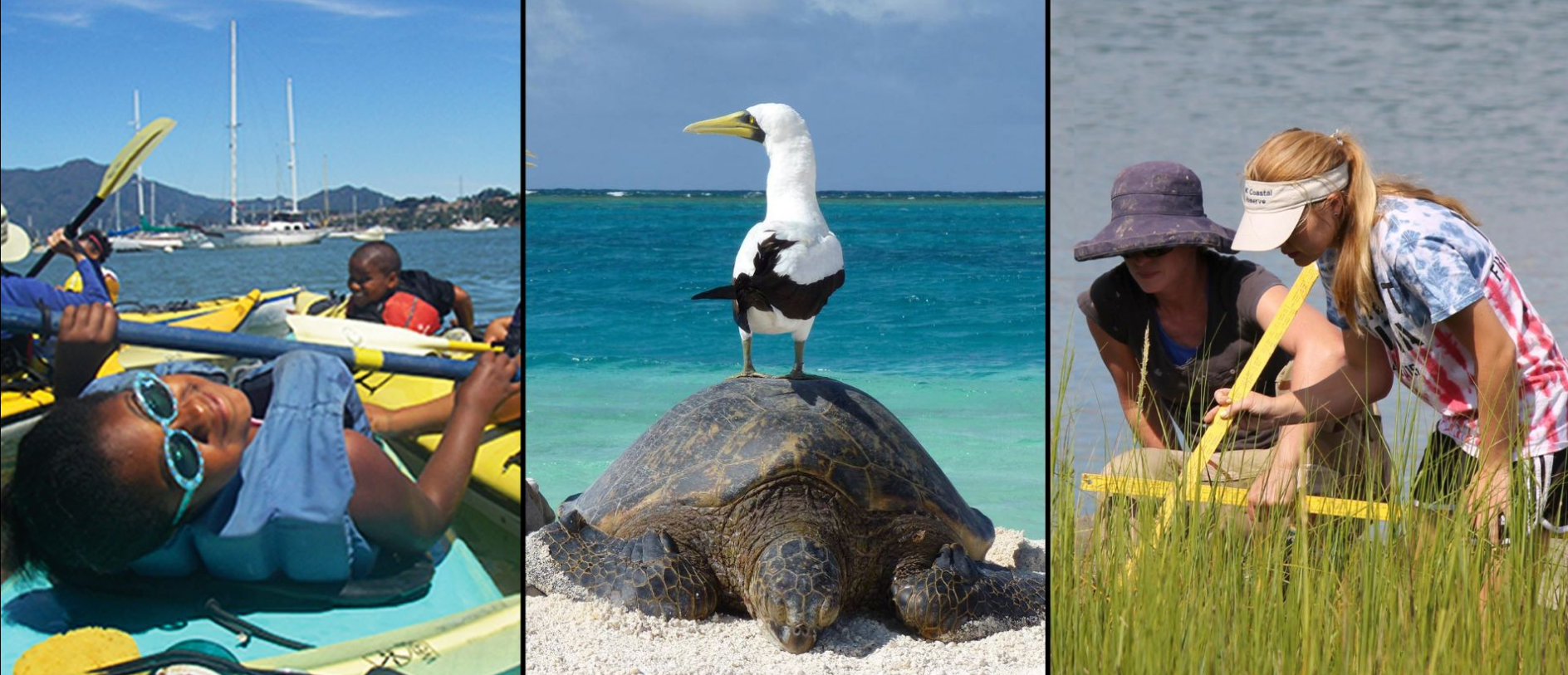
- Recreation: Since expanding in 2015, Greater Farallones National Marine Sanctuary near San Francisco has generated $164 million in recreational activities while protecting an abundance of life, including many threatened and endangered species. The Sanctuary's nearly 3,300 square miles are among the world's most diverse marine environments.
- Ecosystem health: Just as sea turtles, the more than 14 million seabirds in the Northwestern Hawaiian Islands’ Papahānaumokuākea Marine National Monument travel between the ocean where they feed and islands where they nest. When they come ashore, seabirds bring nutrients essential to the survival of many endangered plants not found elsewhere.
- Research & Education: Located where freshwater and seawater mix, National Estuarine Research Reserves support local and regional issues of national importance by integrating research, stewardship and education. Last year, they trained 14,000 people to protect coastal areas and logged 40,000 volunteer hours.
Capturing the sounds of science
Hear the whales singing ♫ offsite link
Each type of whale has its own claim to fame. For male humpback whales, it's their song. Every year they gather on breeding grounds and produce a distinct chorus.
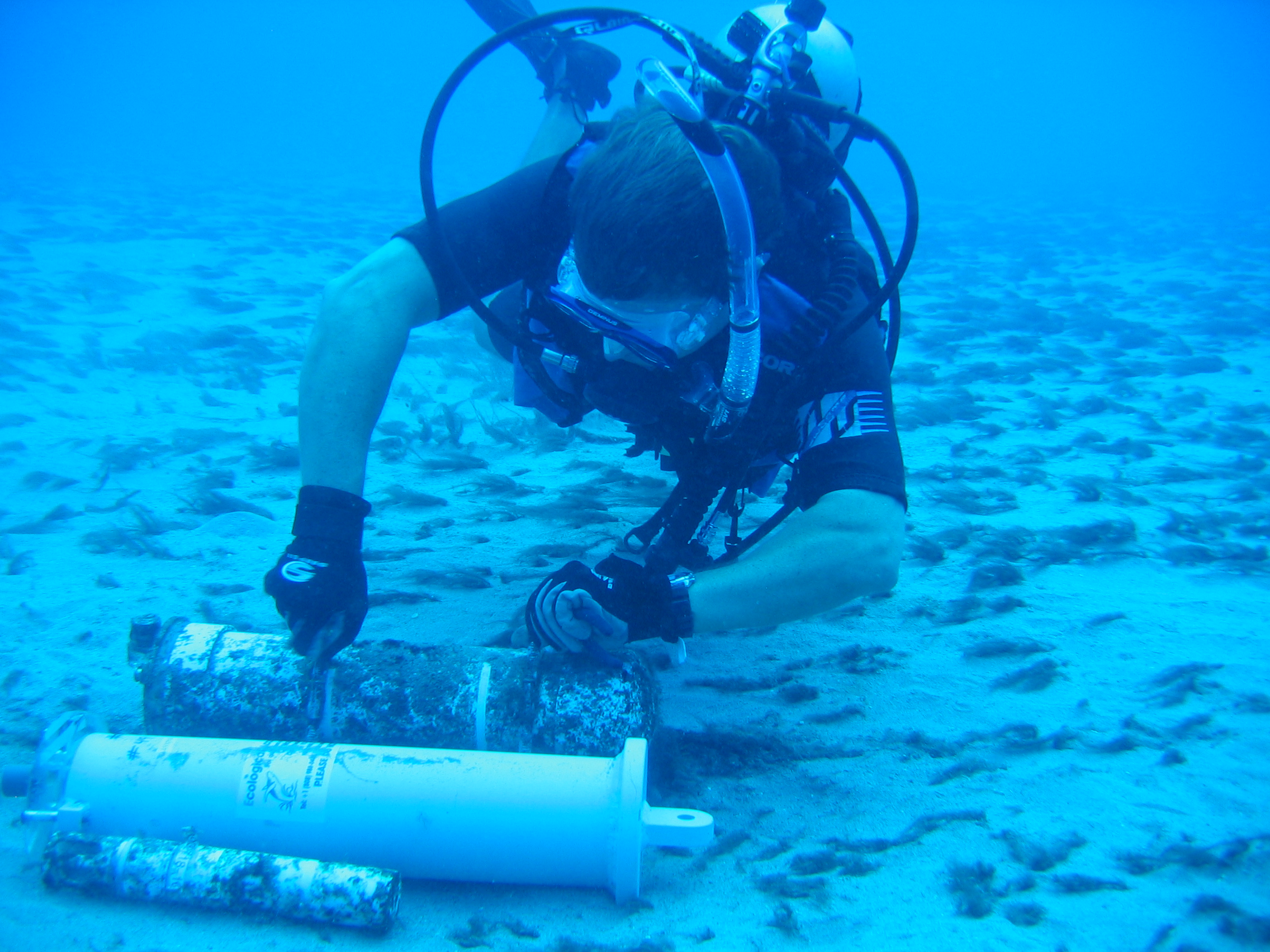
At the Hawaiian Islands Humpback Whale National Marine Sanctuary, this chorus is recorded to help NOAA scientists research how a warming climate may affect whale presence, behavior and response to noise.
Introducing 72-hour ocean forecasts
NOAA’s new 72-hour ocean forecasts are a win for safety and the U.S. economy where maritime activities top $2 trillion annually.
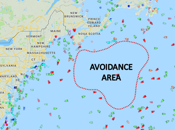
Soon after the forecasts were produced, hurricane-force winds were predicted for the northwest Atlantic. The new forecasts enabled mariners in this particularly active maritime area to plan safe, economically sound routes three days in advance.
The product fills prior time gaps in National Weather Service’s Ocean Prediction Center forecasts. Since being introduced in March, over 550 warnings have alerted mariners to life-threatening storms and other dangers across the Atlantic and Pacific Oceans.
Responding to changing ocean chemistry
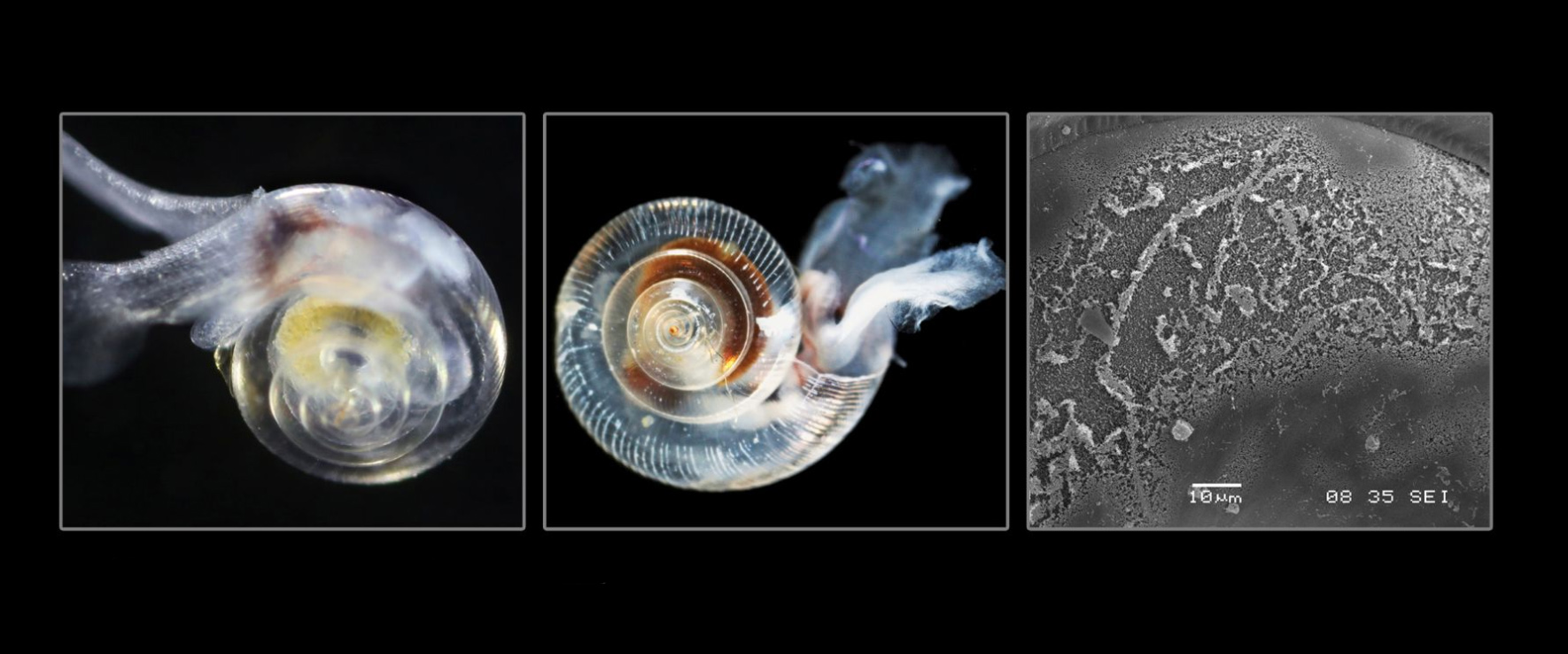
Our ocean absorbs vast amounts of carbon dioxide at a potential cost to marine life, from the smallest algae to the largest whale.
Known as ocean acidification, this process reduces carbonate, which is required by clams, oysters, corals, and other marine life to build and maintain their protective shells.
Ocean acidification is literally causing a global sea change, profoundly affecting ocean and coastal waters from pole to pole.
Led by NOAA’s Ocean Acidification Program, NOAA works with universities, coastal states and many other partners to help communities assess, anticipate and adapt to the effects of ocean acidification.
In U.S. waters, NOAA supports a 15-buoy network offsite link. The buoys are moored so scientists can obtain measurements from the same site over time, a key to understanding how fast ocean chemistry is changing.
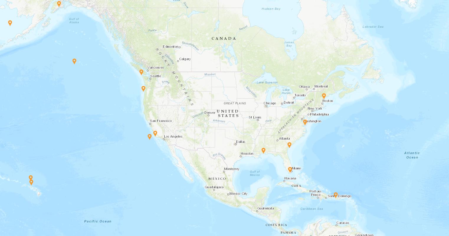
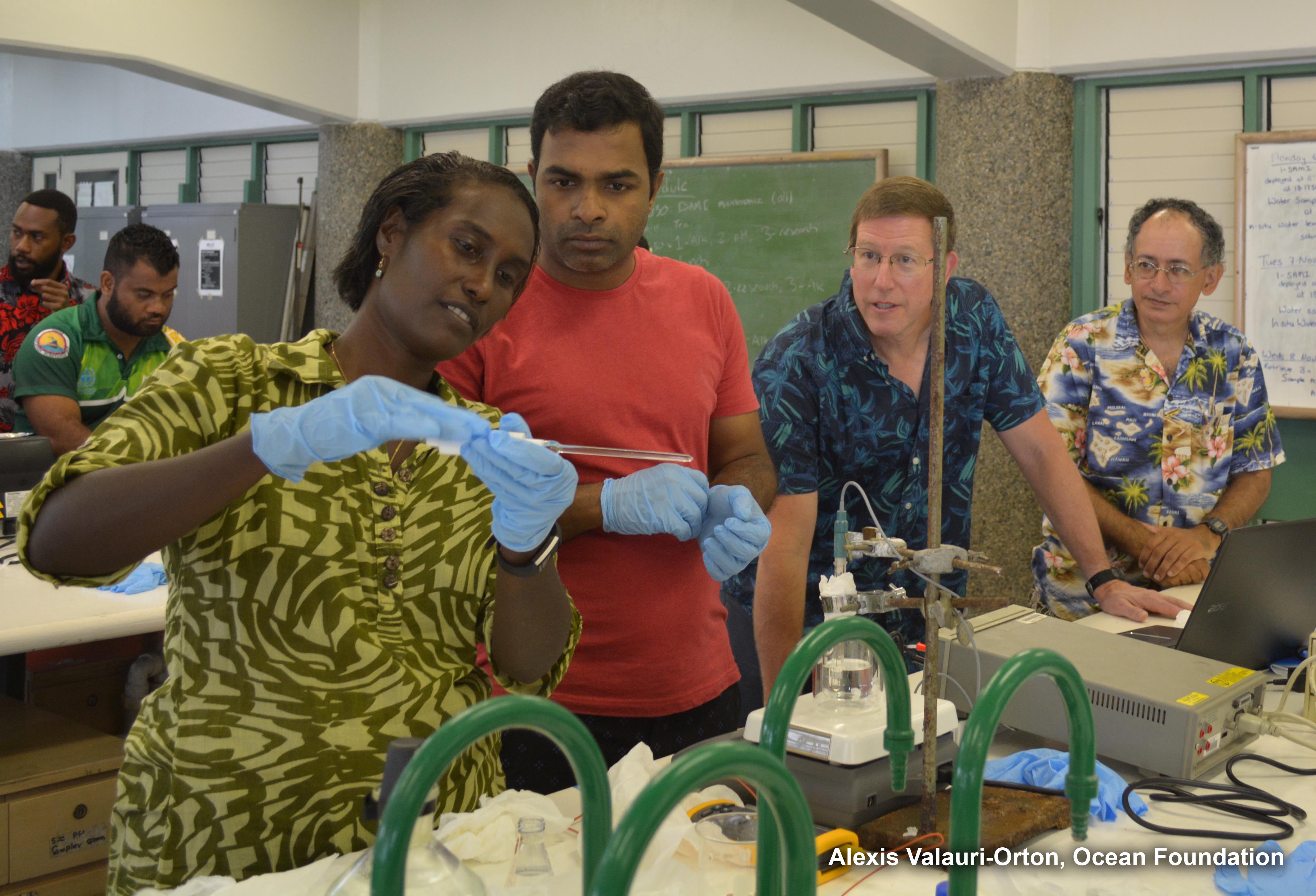
Since ocean acidification has no geographic boundaries, NOAA helped spearhead an international coordination and buoy network. Nearly 500 scientists from close to 90 countries participate.
Teaching about coral bleaching
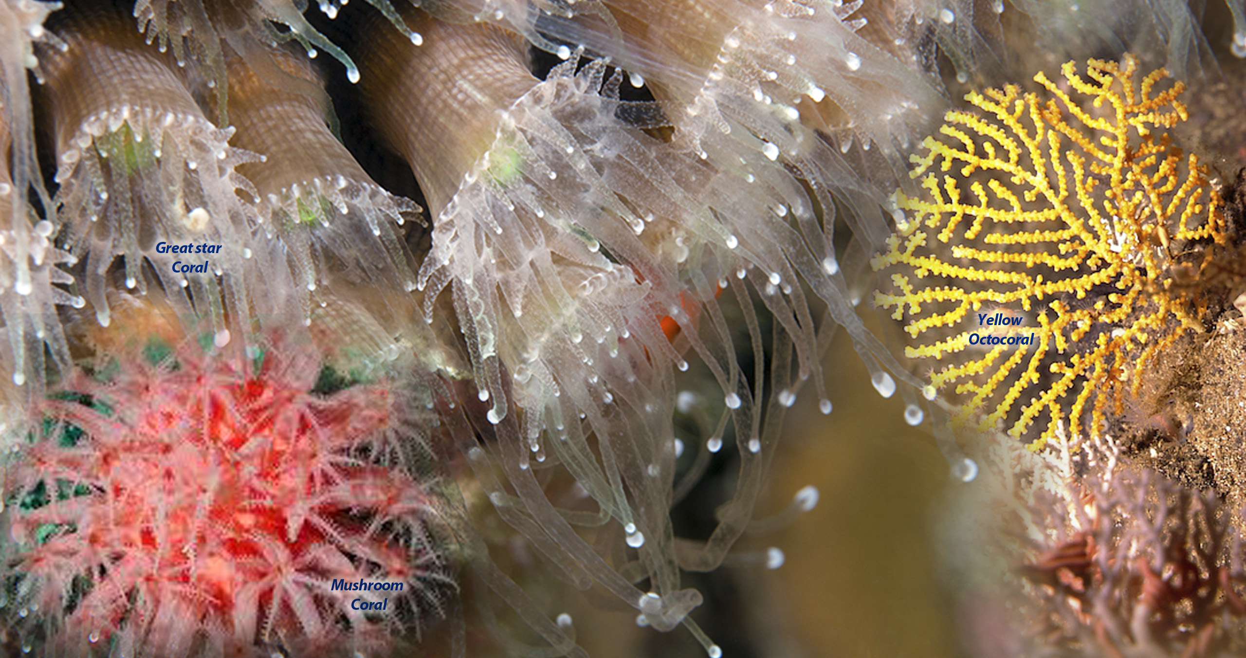
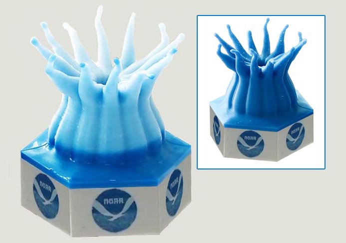
Using satellite data, NOAA's Coral Reef Watch quickly identifies areas at risk and, on a weekly basis, predicts likely bleaching up to four months in advance, the typical length of the coral bleaching season.
To view the original Our Ocean story map, please see this version on the ESRI website offsite link.


