A big winter storm is hitting the East Coast this week, spanning from the Carolinas through New England and into Nova Scotia. Meteorologists have been talking about this weather system going through bombogenesis as it travels along its northward track.

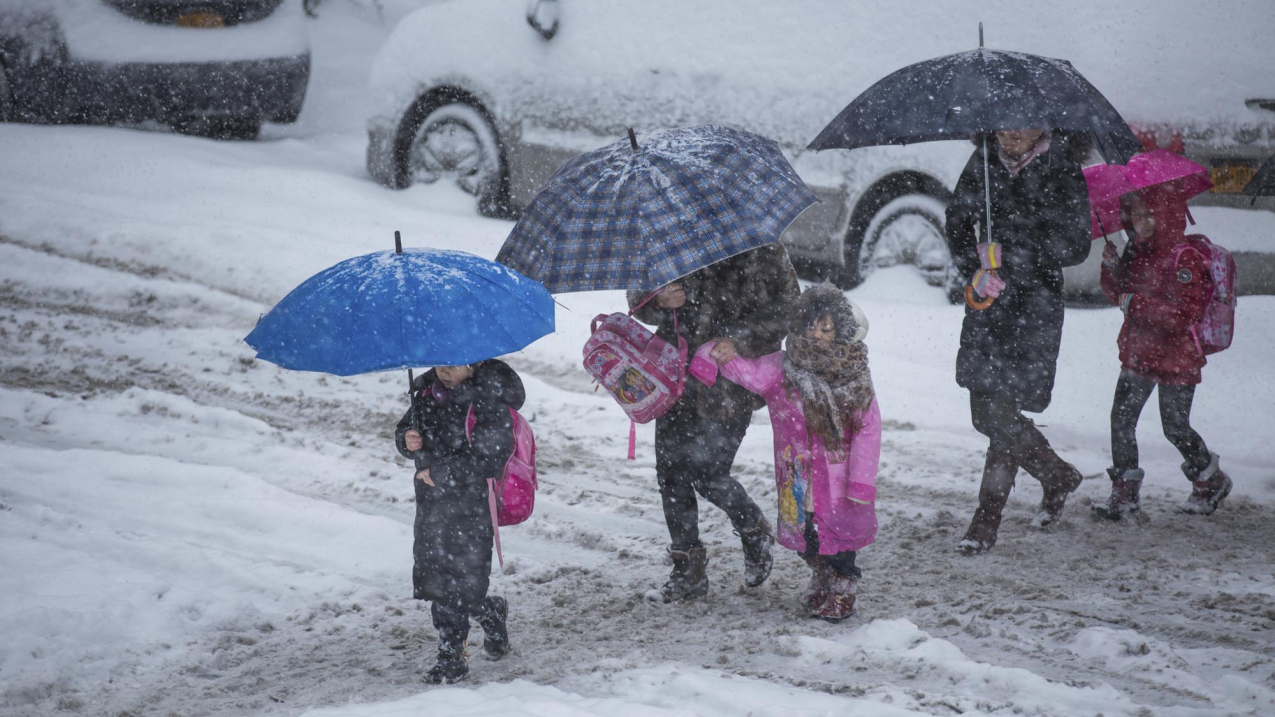
Brooklyn, NY, USA - February 13, 2014: Mothers escorting their children to school in a snow storm in Borough Park, Brooklyn. (Image credit: iStock)
Bombogenesis: What it is
In simple terms, bombogenesis occurs when a storm rapidly intensifies over a 24-hour period. More precisely, it’s a mid-latitude cyclone that rapidly intensifies, with a central pressure that drops at least 24 millibars over 24 hours. (A millibar measures atmospheric pressure.) This is exactly what NOAA’s National Weather Service expects with this system between Wednesday, January 3, and Friday, January 5.
What it means for you
The term is a meteorological one and doesn’t describe the impacts of the weather system, which often include high winds, heavy precipitation and even storm surge. Stay informed and stay safe by keeping track of NOAA’s Weather Prediction Center’s latest discussion on this winter storm and checking your local forecast at weather.gov


