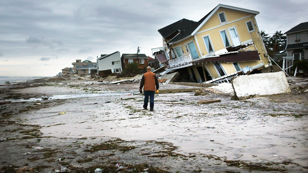
Man walking on beach surveying the damage to Rockaway Beach, Queens, New York, from Post-tropical Cyclone Sandy in 2012. The Climate Resilience Toolkit provides information that can help people prepare for future extreme events and climate change. (Image credit: Spencer Platt/Getty)
Residents, communities and businesses now have easy access to climate projections, through a few easy keystrokes, for every county in the contiguous United States.
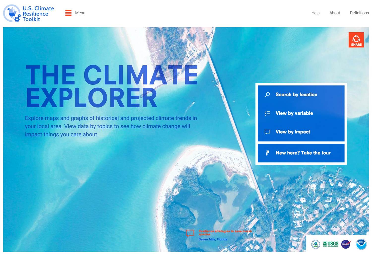
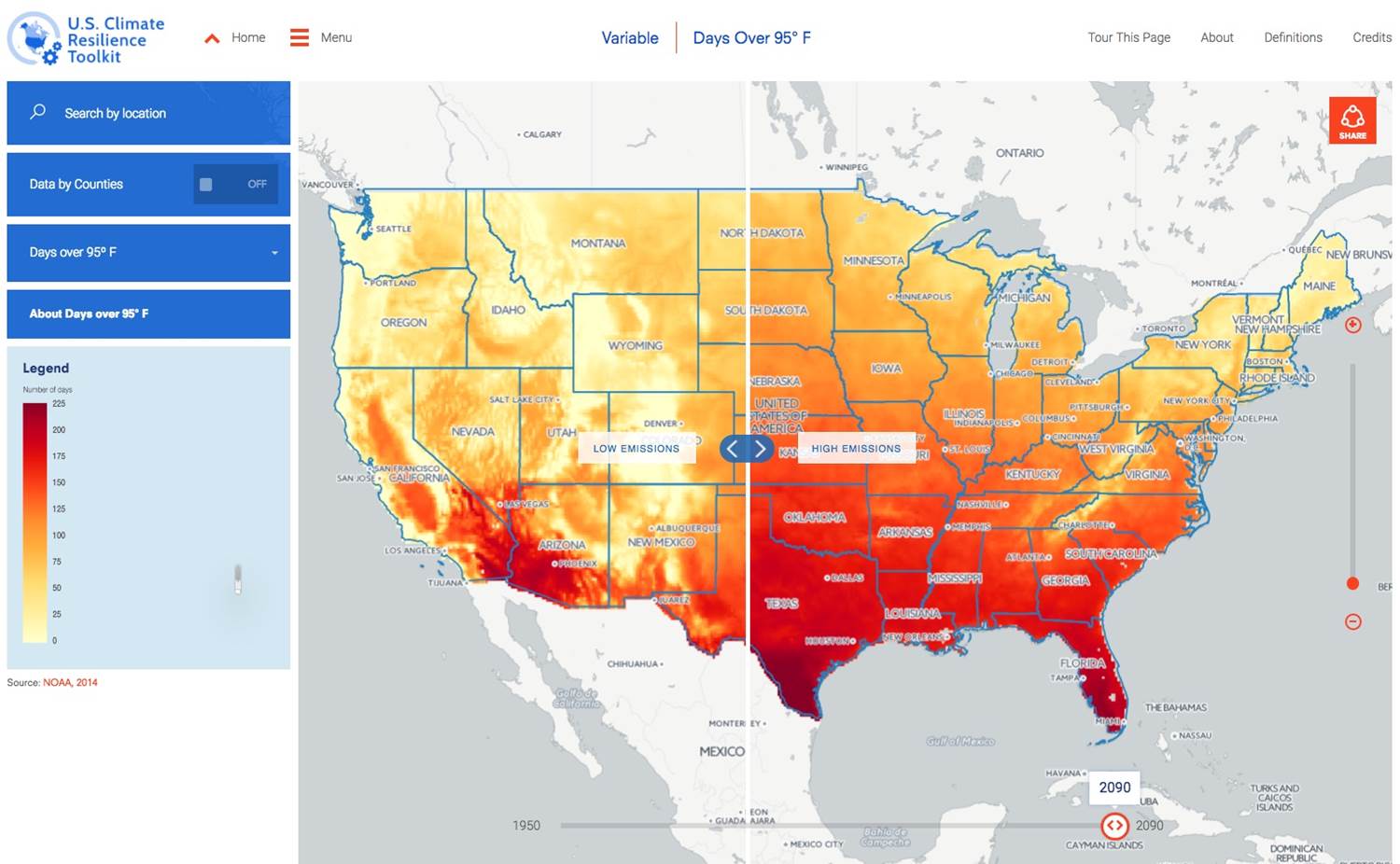
NOAA’s newly updated Climate Explorer offers downloadable maps, graphs, and data tables of observed and projected temperature, precipitation and climate-related variables dating back to 1950 and out to 2100.
Built to accompany the U.S. Climate Resilience Toolkit, the Climate Explorer helps community leaders, business owners, municipal planners, and utility and resource managers understand how environmental conditions may change over the next several decades.

Climate Explorer projections are based on two global climate model scenarios that describe how the abundance of heat-trapping gases in Earth’s atmosphere may change through 2100. The tool provides projections for parameters such as changes in the number of days over 95 degrees F, number of days with heavy rain, and heating and cooling degree days.
“The Climate Explorer is designed to help users visualize how climate conditions may change over the coming decades,” said David Herring, communication and education program manager at NOAA’s Climate Program Office. “Projections of how much and how fast change is happening is crucial to help communities prepare and become more resilient.”
Additional enhancements to the Climate Resilience Toolkit include:
- Redesigned interface that is simpler and works better on mobile devices;
- New “Reports” section with state and municipal climate vulnerability assessments, adaptation plans and scientific reports; and
- Revised “Steps to Resilience” guide and spreadsheet, which communities and businesses can use to confront climate vulnerabilities and implement a plan to build resilience.

“We updated the Climate Explorer in response to requests from communities and businesses across the nation for downscaled climate projections to help them manage their climate-related risks and opportunities,” said Fred Lipschultz, the toolkit’s climate projections team leader based at the U.S. Global Change Research Program.
The U.S. Climate Resilience Toolkit and Climate Explorer are managed by NOAA’s Climate Program Office and hosted by NOAA’s National Centers for Environmental Information. The tool was built by NOAA, U.S. Geological Survey, Bureau of Reclamation, Environmental Protection Agency and NASA, with guidance by the U.S. Global Change Research Program and President Obama’s Climate Action Plan.
Media contact
Monica Allen, 301-734-1123


