Long-term data and past events offer insights into how our planet works. Peer into observations from past decades, centuries, and beyond to see what has happened on Earth, how conditions have changed, and how they might change in the future.

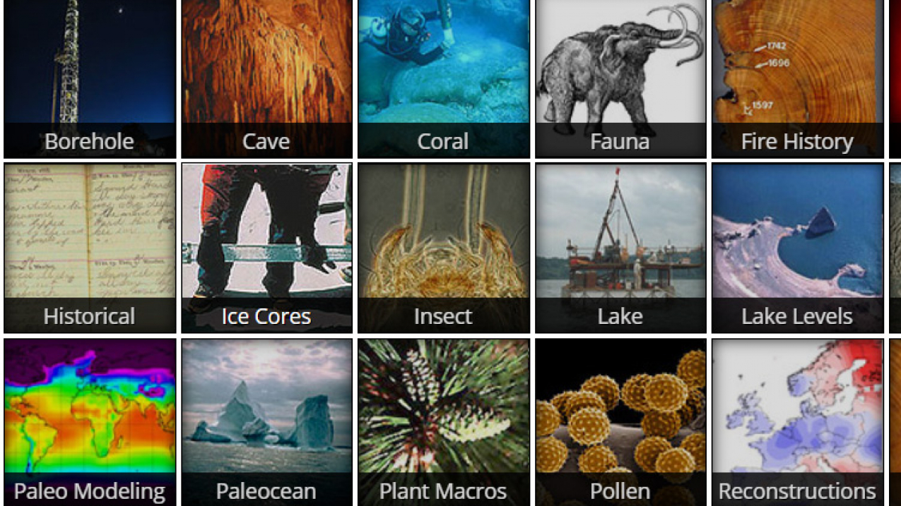
A screenshot of the main page of the types of data available on the NOAA Paleoclimatology Datasets website. (Image credit: NOAA National Centers for Environmental Information)
This collection is organized into three categories:
Classroom ready
Classroom-ready modules are designed with educators in mind. They use NOAA data in lesson plans and curricula for a straightforward experience.
Data in the Classroom
5th - 12th grade • Teacher guide • Links to standards
Data in the Classroom has structured, student-directed lesson plans that use historical and real-time NOAA data. The five modules address research questions and include stepped levels of engagement with complex inquiry investigations with real-time and past data.
Interactive map • Numerical data • Satellite imagery • Graph/figure • Modeled/predicted
Easily accessible resources
Often geared for researchers, these data resources come in a variety of formats and are not associated with lesson plans. However, the ones we highlight here are user-friendly and usually address a single subject.
GLOBE Data Visualization
View data collected by teachers and students participating in the GLOBE Program and long-term air temperature and precipitation observations from the Global Historical Climate Network (GHCN).
While lessons for data collection and other activities are a part of the GLOBE website, specific lessons for manipulation of this data are not provided at this link.
Interactive map • Numerical data • Graph/figure
Historical Hurricane Tracks
Visualize historical hurricane tracks on a global map. Search for specific hurricanes by name or year or view hurricane activity by region.
Get started with our tiny tutorials!
Interactive map • Numerical data • Graph/figure
NOAA Paleoclimatology
The NOAA Paleoclimatology website hosts geophysical, biological, and reconstructed data, some going back 100 million years. Types of data include borehole data, climate forcing data, climate reconstruction, animal and plant data, fire history, ice core data, and more.
Interactive map • Numerical data • Modeled/predicted
Sea Level Trends
Explore sea level changes across the globe with annual data from at least 30 years. Arrows indicate whether and to what extent the sea level is rising or falling. You can also view global and regional trends and anomalies.
Interactive map • Numerical data • Graph/figure • Modeled/predicted
The Climate Explorer offsite link
Delve into historical data back to 1950 and predictive models through 2090 for temperature, precipitation, flooding, sea level rise from the U.S. Climate Resilience Toolkit.
Interactive map • Numerical data • Graph/figure • Modeled/predicted
xmACIS offsite link
Search weather data from regional climate centers. Data is available for each Weather Forecast Office (WFO); find your local WFO here.
Numerical data • Graph/figure
Looking for more?
If you haven’t found what you’re looking for here, try exploring our major data repositories. These sites host vast troves of data from across many different subjects and disciplines.
Storm Prediction Center
The Storm Prediction Center shows real-time and recent severe weather predictions, fire warnings, and other hazard information. Some historical data is also available.
Interactive map
National Centers for Environmental Information (NCEI) [Advanced]
NCEI hosts and provides public access to one of the most significant archives for environmental data on Earth. Over 25 petabytes (25 million gigabytes) of atmospheric, coastal, oceanic, and geophysical data are available.
Interactive map • Numerical data • Satellite imagery • Graph/figure • Modeled/predicted
Severe Weather Event Summaries [Advanced]
Designed for people with experience in meteorology, this site shows real time and historic severe weather data, focusing on tornadoes, thunderstorms, hail, and wind. Datasets include daily events, monthly summaries, annual trends, downloadable radar data, and event archives.
Interactive map • Numerical data

