Addition completes lower 48-state sea level projection data

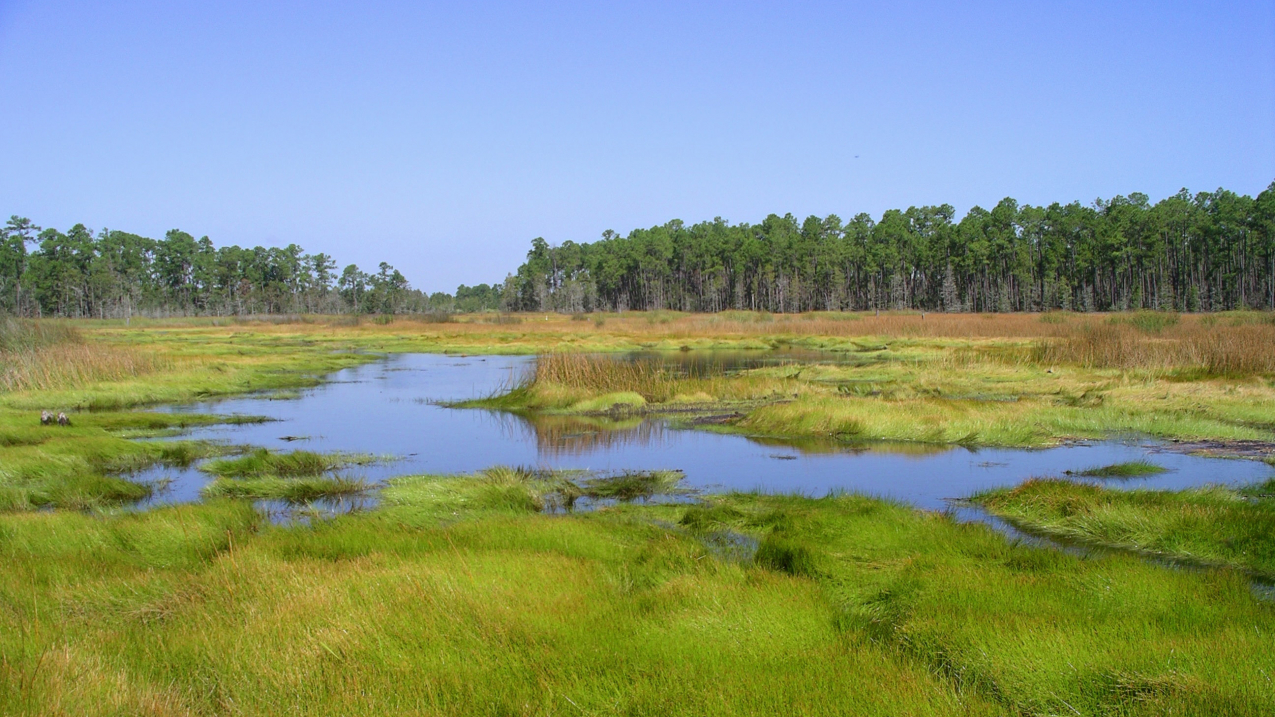
Grand Bay National Estuarine Research Reserve is one of the most biologically diverse ecosystems in the northern Gulf of Mexico. (Image credit: NOAA)
Scientists, regional managers, coastal planners, businesses and residents of Louisiana can now use NOAA’s popular Sea Level Rise and Coastal Flooding Impacts Viewer to assess their risks for coastal flooding under a variety of different scenarios.
A view of coastal Louisiana with a one-foot sea level rise, as shown by NOAA's Sea Level Rise Viewer, which now has data for this difficult-to-map area. (Credit: NOAA)
The Louisiana update expands the tool’s coverage to all coastal U.S. states and territories, except for Alaska where gaps in the underlying geospatial and mapping data remain.
The Sea Level Rise Viewer, featured on NOAA’s Digital Coast, is a powerful planning tool that lets users along the U.S. coast visualize and map the potential effects of sea level rise and coastal flooding. The viewer provides hypothetical coastal flooding scenarios with visualizations of local landmarks, uncertainty maps, marsh impact maps, and flooding frequency charts showing how sea level rise will affect the population and economy of heavily populated, ecologically important coastal areas.
A companion tool, NOAA’s Lake Level Viewer, provides coverage for the Great Lakes region.
“Louisiana proved to be the most difficult coastal state to map because of many different elevation data sources and the complexity of the coastal plain,” said Todd Davison, director of the southern region for NOAA’s Office for Coastal Management. “Mapping the effects of sea level change in a place like this is very tricky and this tool is designed to better inform coastal communities of their risks, enabling them to improve their planning and enhance their coastal resilience.”
There were many challenges facing tool developers in the two year mapping project. While portions of Louisiana have the highest relative sea level rise rate in the U.S, the state also has the highest subsidence or sinking land rates. Also, much of the state’s coastal plain is not walkable or inhabitable, with many places at or below sea level. The states many canals, levees and other natural and man-made features added to the difficulty.
The addition of Louisiana to the viewer was made possible by the Louisiana Coastal Protection and Restoration Authority, the U.S. Geological Survey, and NOAA.
NOAA continually refines the data upon which the viewer’s projections are based. In 2015 new land cover, elevation, and levee data updates were added for areas of the San Francisco Bay and coastal Texas, Oregon, and the U.S. Virgin Islands.
NOAA’s mission is to understand and predict changes in the Earth's environment, from the depths of the ocean to the surface of the sun, and to conserve and manage our coastal and marine resources. Join us on Facebook, Twitter, Instagra
Contact:
Ben Sherman
202-253-5256 (cell)
Donna McCaskill
843-740-1272


